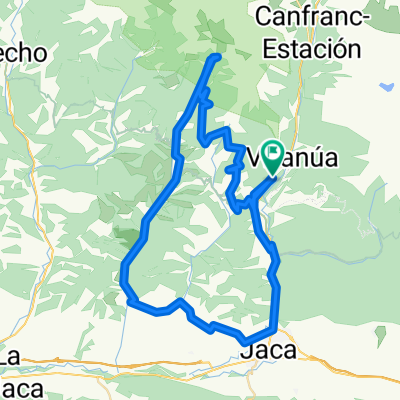
Somport- La piedra
- 194.5 km
- 3,342 m
- 3,342 m
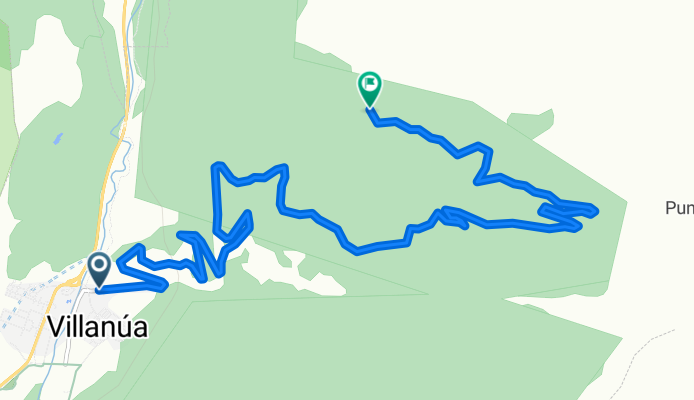
- Villanúa, Aragon, Spain
A cycling route starting in Villanúa, Aragon, Spain.
Overview
I can't mark the great downhill trail because I can't see it from the satellite view, I'll see if I can get a track.
created this 16 years ago
Route quality
Track
12.7 km
95 %
Road
0.7 km
5 %
Paved
0.7 km
(5 %)
Unpaved
12.7 km
(95 %)
Gravel
12.7 km
95 %
Asphalt
0.7 km
5 %
Continue with Bikemap
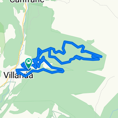
You would like to ride Villanúa - La Trapa or customize it for your own trip? Here is what you can do with this Bikemap route:
Free trial for 3 days, or one-time payment. More about Bikemap Premium.
Discover more Premium features.
Get Bikemap PremiumFrom our community
Open it in the app