NES-Hillenberg- Hochrhöntour
- 83.3 km
- 672 m
- 671 m
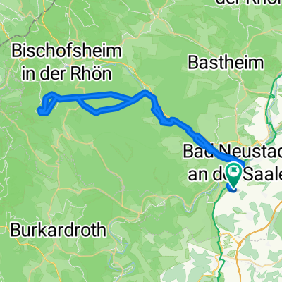
- Salz, Bavaria, Germany
A cycling route starting in Salz, Bavaria, Germany.
Overview
through the Elsbach valley, north of Oberelsbach, beautiful path to the Schweinfurt House over the Thuringia Hut up to the Heidelstein, passing by the Swedish Wall to Himmeldunk, descent to Oberweißenbrunn and then ascent to the Kreuzberg (beer as a reward). Then great descent towards the Kissinger Hut, arriving at the Waldberg campsite.
created this 12 years ago
Continue with Bikemap
You would like to ride Salz-Thüringer Hütte-Heidelstein-Himmeldunk-Kreuzberg-Salz or customize it for your own trip? Here is what you can do with this Bikemap route:
Free trial for 3 days, or one-time payment. More about Bikemap Premium.
Discover more Premium features.
Get Bikemap PremiumFrom our community
Open it in the app