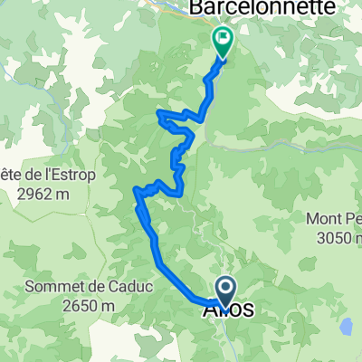
Col de la Cayolle - Col des Champs - Col d'Allos

A cycling route starting in Barcelonnette, Provence-Alpes-Côte d'Azur Region, France.
OverviewAbout this route

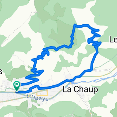
Departure and arrival in Barcelonette. 124 km, 3340 m of elevation gain

Translated, show original (French)
-:--
Duration
121.2 km
Distance
3,137 m
Ascent
3,141 m
Descent
---
Avg. speed
---
Max. altitude
Route qualityWaytypes & surfaces along the route
Waytypes
  • Road

    32.7 km27 %
  • Quiet road

    4.8 km4 %
  • Track

    1.2 km1 %
Surfaces

Paved

88.5 km(73 %)

Unpaved

1.2 km(1 %)
  • Asphalt

    88.5 km73 %
  • Ground

    1.2 km1 %
  • Undefined

    31.5 km26 %
Continue with BikemapUse, edit, or download this cycling route
You would like to ride Col de la Cayolle - Col des Champs - Col d'Allos or customize it for your own trip? Here is what you can do with this Bikemap route:
Free features
Premium features

Free trial for 3 days, or one-time payment. More about Bikemap Premium.

  • Navigate this route on iOS & Android
  • Export a GPX / KML file of this route
  • Create your custom printout (try it for free)
  • Download this route for offline navigation

Discover more Premium features.

Get Bikemap Premium
From our communityOther popular routes starting in Barcelonnette

Open it in the app