

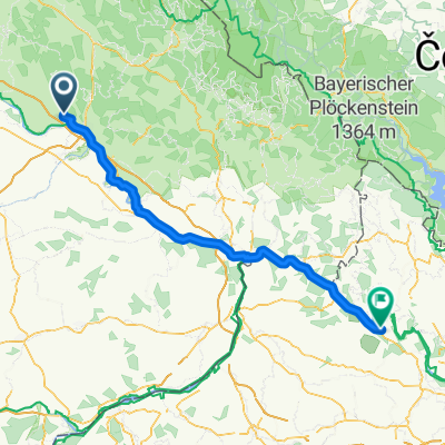
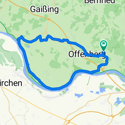
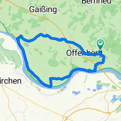
route21.07.13 armin wolfgang
A cycling route starting in Offenberg, Bavaria, Germany.
Overview
About this route
ziemmlich steil
(cloned from route 2245220)
- -:--
- Duration
- 28.8 km
- Distance
- 929 m
- Ascent
- 935 m
- Descent
- ---
- Avg. speed
- ---
- Max. altitude
Continue with Bikemap
Use, edit, or download this cycling route
You would like to ride route21.07.13 armin wolfgang or customize it for your own trip? Here is what you can do with this Bikemap route:
Free features
- Save this route as favorite or in collections
- Copy & plan your own version of this route
- Sync your route with Garmin or Wahoo
Premium features
Free trial for 3 days, or one-time payment. More about Bikemap Premium.
- Navigate this route on iOS & Android
- Export a GPX / KML file of this route
- Create your custom printout (try it for free)
- Download this route for offline navigation
Discover more Premium features.
Get Bikemap PremiumFrom our community
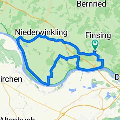
Other popular routes starting in Offenberg
 Schlögener Schleife
- Distance
- 106.3 km
- Ascent
- 1,227 m
- Descent
- 1,104 m
- Location
- Offenberg, Bavaria, Germany
 Hirschenstein - Rauher Kulm - Klosterstein
- Distance
- 46.3 km
- Ascent
- 1,316 m
- Descent
- 1,317 m
- Location
- Offenberg, Bavaria, Germany
 Lindenanger nach Lindenanger
- Distance
- 31.4 km
- Ascent
- 51 m
- Descent
- 102 m
- Location
- Offenberg, Bavaria, Germany
 Vakantie 2019 - DE - AU - CZ
- Distance
- 739 km
- Ascent
- 1,702 m
- Descent
- 1,704 m
- Location
- Offenberg, Bavaria, Germany
 morning ride
- Distance
- 17.3 km
- Ascent
- 382 m
- Descent
- 373 m
- Location
- Offenberg, Bavaria, Germany
 Summer route 2018
- Distance
- 1,390.6 km
- Ascent
- 6,484 m
- Descent
- 6,501 m
- Location
- Offenberg, Bavaria, Germany
 Lindenanger nach Lindenanger
- Distance
- 36.3 km
- Ascent
- 36 m
- Descent
- 89 m
- Location
- Offenberg, Bavaria, Germany
 Lindenanger nach Lindenanger
- Distance
- 31.8 km
- Ascent
- 29 m
- Descent
- 66 m
- Location
- Offenberg, Bavaria, Germany
Open it in the app