Westbalkan-Tour Deutschland - Bosnien 6. Etappe
- 178.7 km
- 2,104 m
- 2,555 m
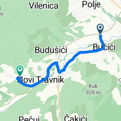
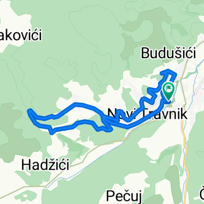
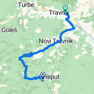
- Novi Travnik, Federation of Bosnia and Herzegovina, Bosnia and Herzegovina
Teška ruta za rekreativce bez pripreme !
Quiet road
31 km17 %Road
11 km6 %Paved
138.8 km(76 %)Unpaved
5.5 km(3 %)Asphalt
133.3 km73 %Paved (undefined)
5.5 km3 %Free trial for 3 days, or one-time payment. More about Bikemap Premium.
Discover more Premium features.
Get Bikemap PremiumOpen it in the app