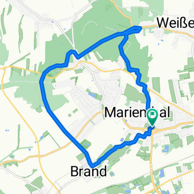
von der Stadt aufs Land in den Wald und zurück
- 18.5 km
- 139 m
- 152 m
- Weißenborn, Saxony, Germany
A cycling route starting in Weißenborn, Saxony, Germany.
Overview
created this 16 years ago
Continue with Bikemap
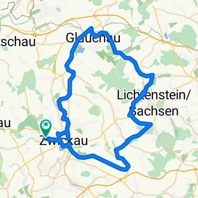
You would like to ride Zwickau - Glauchau Stausee or customize it for your own trip? Here is what you can do with this Bikemap route:
Free trial for 3 days, or one-time payment. More about Bikemap Premium.
Discover more Premium features.
Get Bikemap PremiumFrom our community
Open it in the app