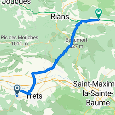
Boucle Trets
A cycling route starting in Peynier, Provence-Alpes-C么te d'Azur Region, France.
Overview
About this route
Peynier-Trets-Saint Zacharie-Bouilladisse-Peynier
- -:--
- Duration
- 33.7 km
- Distance
- 565 m
- Ascent
- 565 m
- Descent
- ---
- Avg. speed
- ---
- Avg. speed
Route quality
Waytypes & surfaces along the route
Waytypes
Road
25.5 km
(76 %)
Busy road
6.7 km
(20 %)
Surfaces
Paved
9.6 km
(28 %)
Asphalt
9.6 km
(28 %)
Undefined
24.2 km
(72 %)
Continue with Bikemap
Use, edit, or download this cycling route
You would like to ride Boucle Trets or customize it for your own trip? Here is what you can do with this Bikemap route:
Free features
- Save this route as favorite or in collections
- Copy & plan your own version of this route
- Sync your route with Garmin or Wahoo
Premium features
Free trial for 3 days, or one-time payment. More about Bikemap Premium.
- Navigate this route on iOS & Android
- Export a GPX / KML file of this route
- Create your custom printout (try it for free)
- Download this route for offline navigation
Discover more Premium features.
Get Bikemap PremiumFrom our community
Other popular routes starting in Peynier
- De 4 Route des Michels, Peynier 脿 37 Rue Barth茅lemy Niollon, Fuveau
- Distance
- 6.6 km
- Ascent
- 111 m
- Descent
- 111 m
- Location
- Peynier, Provence-Alpes-C么te d'Azur Region, France
- peynier - petit gallibier
- Distance
- 13.6 km
- Ascent
- 312 m
- Descent
- 243 m
- Location
- Peynier, Provence-Alpes-C么te d'Azur Region, France
- Route de Rousset, Peynier 脿 900 Avenue Georges Vacher, Peynier
- Distance
- 2.8 km
- Ascent
- 6 m
- Descent
- 43 m
- Location
- Peynier, Provence-Alpes-C么te d'Azur Region, France
- De Route de Peynier, Trets 脿 Ermitage Saint-Jean-du-Puy, Trets
- Distance
- 8.7 km
- Ascent
- 268 m
- Descent
- 13 m
- Location
- Peynier, Provence-Alpes-C么te d'Azur Region, France
- peynier/gardanne
- Distance
- 17.4 km
- Ascent
- 249 m
- Descent
- 333 m
- Location
- Peynier, Provence-Alpes-C么te d'Azur Region, France
- PARIS NIZA 6
- Distance
- 180 km
- Ascent
- 1,389 m
- Descent
- 1,466 m
- Location
- Peynier, Provence-Alpes-C么te d'Azur Region, France
- Boucle Trets
- Distance
- 33.7 km
- Ascent
- 565 m
- Descent
- 565 m
- Location
- Peynier, Provence-Alpes-C么te d'Azur Region, France
- Impasse de la Ferrage, Peynier 脿 254 Chemin de la Blaque, Peynier
- Distance
- 40.3 km
- Ascent
- 591 m
- Descent
- 567 m
- Location
- Peynier, Provence-Alpes-C么te d'Azur Region, France
Open it in the app