
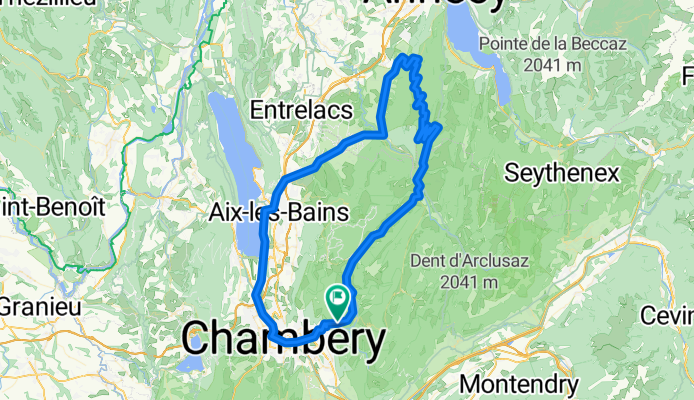
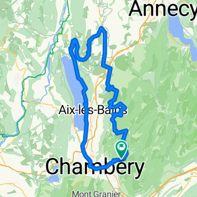
tour du Semnoz
A cycling route starting in Barby, Auvergne-Rhône-Alpes, France.
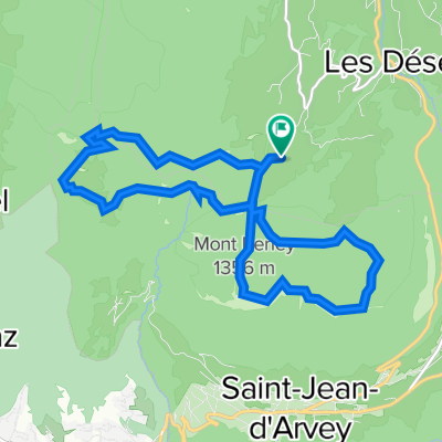
Overview
About this route
Crossing of the Pont de l'Abîme : spectacular
Climb of Semnoz(Crêt du Châtillon) via Quintal, avg. slope of 8.2%
return via the Bauges and through the village of Noyer and its scarecrows!!!
(cloned from route 269247)
- -:--
- Duration
- 108.3 km
- Distance
- 2,000 m
- Ascent
- 1,998 m
- Descent
- ---
- Avg. speed
- ---
- Max. altitude

Continue with Bikemap
Use, edit, or download this cycling route
You would like to ride tour du Semnoz or customize it for your own trip? Here is what you can do with this Bikemap route:
Free features
- Save this route as favorite or in collections
- Copy & plan your own version of this route
- Split it into stages to create a multi-day tour
- Sync your route with Garmin or Wahoo
Premium features
Free trial for 3 days, or one-time payment. More about Bikemap Premium.
- Navigate this route on iOS & Android
- Export a GPX / KML file of this route
- Create your custom printout (try it for free)
- Download this route for offline navigation
Discover more Premium features.
Get Bikemap PremiumFrom our community
Other popular routes starting in Barby
 Prés - Marocaz - Granier(par Chapareillan)
- Distance
- 85 km
- Ascent
- 2,121 m
- Descent
- 2,121 m
- Location
- Barby, Auvergne-Rhône-Alpes, France
 Tour des Bauges
- Distance
- 121 km
- Ascent
- 2,577 m
- Descent
- 2,577 m
- Location
- Barby, Auvergne-Rhône-Alpes, France
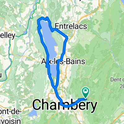
 col du Chat-Chambotte
- Distance
- 104.9 km
- Ascent
- 1,332 m
- Descent
- 1,332 m
- Location
- Barby, Auvergne-Rhône-Alpes, France
 Lac du Bourget par La Chambotte
- Distance
- 91.7 km
- Ascent
- 1,220 m
- Descent
- 1,220 m
- Location
- Barby, Auvergne-Rhône-Alpes, France
 tour du Mont Revard
- Distance
- 67.7 km
- Ascent
- 1,304 m
- Descent
- 1,306 m
- Location
- Barby, Auvergne-Rhône-Alpes, France
 col du Sapenay, Mont Revard
- Distance
- 120.6 km
- Ascent
- 2,162 m
- Descent
- 1,761 m
- Location
- Barby, Auvergne-Rhône-Alpes, France
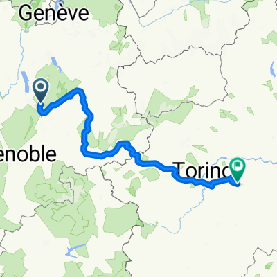 4-Chambery-Rome
- Distance
- 317.2 km
- Ascent
- 3,461 m
- Descent
- 3,945 m
- Location
- Barby, Auvergne-Rhône-Alpes, France
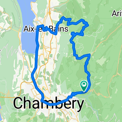
 Croix du Nivolet - Massif des Bauges
- Distance
- 12.5 km
- Ascent
- 1,124 m
- Descent
- 1,124 m
- Location
- Barby, Auvergne-Rhône-Alpes, France
Open it in the app