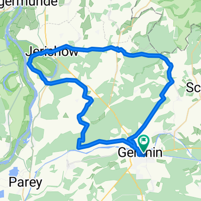
434. Land Schollene, Havelpolderflutungsfolgen und Bantikow
A cycling route starting in Genthin, Saxony-Anhalt, Germany.
Overview
About this route
ridden on 17.08.2013 (with train arrival of 141 km)
Land Schollene with TÜPL Klietz
repaired roads (still gravel) from the Havelpolder flooding between Kuhlhausen and Havelberg
worth seeing: Havelberg, Kyritz
beautiful landscape northeast of Kyritz
- -:--
- Duration
- 131.6 km
- Distance
- 129 m
- Ascent
- 122 m
- Descent
- ---
- Avg. speed
- ---
- Max. altitude
Route quality
Waytypes & surfaces along the route
Waytypes
Quiet road
14.5 km
(11 %)
Path
13.2 km
(10 %)
Surfaces
Paved
93.4 km
(71 %)
Asphalt
93.4 km
(71 %)
Undefined
38.2 km
(29 %)
Continue with Bikemap
Use, edit, or download this cycling route
You would like to ride 434. Land Schollene, Havelpolderflutungsfolgen und Bantikow or customize it for your own trip? Here is what you can do with this Bikemap route:
Free features
- Save this route as favorite or in collections
- Copy & plan your own version of this route
- Split it into stages to create a multi-day tour
- Sync your route with Garmin or Wahoo
Premium features
Free trial for 3 days, or one-time payment. More about Bikemap Premium.
- Navigate this route on iOS & Android
- Export a GPX / KML file of this route
- Create your custom printout (try it for free)
- Download this route for offline navigation
Discover more Premium features.
Get Bikemap PremiumFrom our community
Other popular routes starting in Genthin
- Genthin - Potsdam Wannsee 96 KM
- Distance
- 103.6 km
- Ascent
- 84 m
- Descent
- 75 m
- Location
- Genthin, Saxony-Anhalt, Germany
- Easy Montag Route In Genthin
- Distance
- 30.4 km
- Ascent
- 682 m
- Descent
- 684 m
- Location
- Genthin, Saxony-Anhalt, Germany
- 434. Land Schollene, Havelpolderflutungsfolgen und Bantikow
- Distance
- 131.6 km
- Ascent
- 129 m
- Descent
- 122 m
- Location
- Genthin, Saxony-Anhalt, Germany
- Easy Sonntag Course In Elbe-Parey
- Distance
- 38.3 km
- Ascent
- 77 m
- Descent
- 78 m
- Location
- Genthin, Saxony-Anhalt, Germany
- Herrentag 2009
- Distance
- 51.7 km
- Ascent
- 126 m
- Descent
- 127 m
- Location
- Genthin, Saxony-Anhalt, Germany
- Parchau
- Distance
- 23.4 km
- Ascent
- 25 m
- Descent
- 24 m
- Location
- Genthin, Saxony-Anhalt, Germany
- Kade Kanal
- Distance
- 24.6 km
- Ascent
- 48 m
- Descent
- 45 m
- Location
- Genthin, Saxony-Anhalt, Germany
- 09/2 Genthin-Lobeofsund
- Distance
- 71.4 km
- Ascent
- 138 m
- Descent
- 143 m
- Location
- Genthin, Saxony-Anhalt, Germany
Open it in the app