bernina
- 189.4 km
- 2,244 m
- 2,244 m
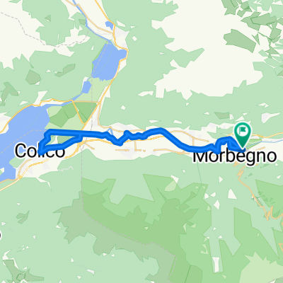
- Morbegno, Lombardy, Italy
A cycling route starting in Morbegno, Lombardy, Italy.
Overview
SFSA
Route highlights
MORTIROLO
TERMINILLO
MONTE GRAPPA
FEDAIA
MONTE ZONCOLAN
MARMOLADA
PORDOI
LAVAREDO
MONTE GAVIA
PASSO DELLO STELVIO
Continue with Bikemap
You would like to ride GIRO - MORTIROLO- GAVIA-MONTE MASSUCO or customize it for your own trip? Here is what you can do with this Bikemap route:
Free trial for 3 days, or one-time payment. More about Bikemap Premium.
Discover more Premium features.
Get Bikemap PremiumFrom our community
Open it in the app