North East Adelaide triangle not mapped
- 26.3 km
- 151 m
- 152 m
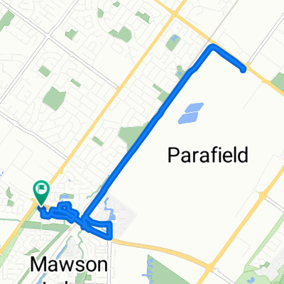
- Ingle Farm, South Australia, Australia
A cycling route starting in Ingle Farm, South Australia, Australia.
Overview
Blacktop hill to one tree hill, off to gawler and back via Stuart O'Grady bikeway
created this 12 years ago
Route quality
Cycleway
13.8 km
(19 %)
Road
9.5 km
(13 %)
Paved
64.7 km
(89 %)
Asphalt
58.2 km
(80 %)
Paved (undefined)
6.5 km
(9 %)
Undefined
8 km
(11 %)
Continue with Bikemap
You would like to ride MLH-One Tree Hill-Gawler-MLH or customize it for your own trip? Here is what you can do with this Bikemap route:
Free trial for 3 days, or one-time payment. More about Bikemap Premium.
Discover more Premium features.
Get Bikemap PremiumFrom our community
Open it in the app