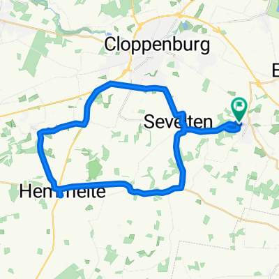
Cloppenburger Land mit Hasetal
- 67.4 km
- 61 m
- 58 m
- Cappeln, Lower Saxony, Germany
Beautiful round tour and those who look at nature find blackberries and porcini mushrooms.
Quiet road
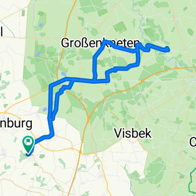
15.6 km33 %Path
13.7 km29 %Paved
29.8 km(63 %)Unpaved
10.9 km(23 %)Asphalt
28.4 km60 %Ground
5.7 km12 %Free trial for 3 days, or one-time payment. More about Bikemap Premium.
Discover more Premium features.
Get Bikemap PremiumOpen it in the app