Śląskim szlakiem
- 58.6 km
- 235 m
- 233 m
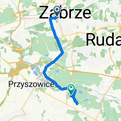
- Zabrze, Silesian Voivodeship, Poland
A cycling route starting in Zabrze, Silesian Voivodeship, Poland.
Overview
Trail of Silesian churches and workers' settlements from the 19th/20th centuries. Gliwice Zabrze:
created this 12 years ago
Route highlights
Zespół budynków przy ul. Parkowej
Continue with Bikemap
You would like to ride Śląskim szlakiem or customize it for your own trip? Here is what you can do with this Bikemap route:
Free trial for 3 days, or one-time payment. More about Bikemap Premium.
Discover more Premium features.
Get Bikemap PremiumFrom our community
Open it in the app