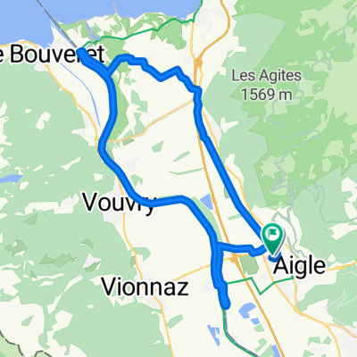
UCI Aigle - Villeneuve
- 11.7 km
- 17 m
- 27 m
- Aigle, Canton of Vaud, Switzerland
A cycling route starting in Aigle, Canton of Vaud, Switzerland.
Overview
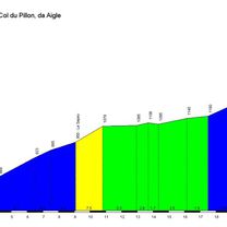
Aigle loop via sanetch and lein
created this 12 years ago
Continue with Bikemap
You would like to ride Aigle-Col du Lein-Col du sanetsch-Aigle or customize it for your own trip? Here is what you can do with this Bikemap route:
Free trial for 3 days, or one-time payment. More about Bikemap Premium.
Discover more Premium features.
Get Bikemap PremiumFrom our community
Open it in the app