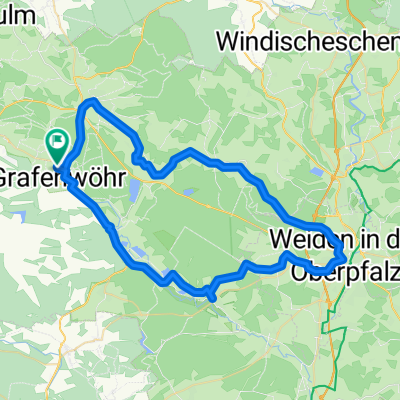
weiden and back to home
- 59.2 km
- 445 m
- 447 m
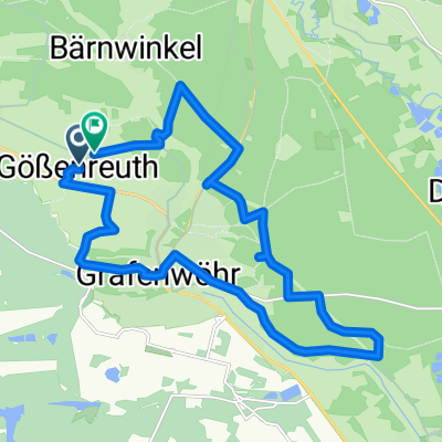
- Grafenwöhr, Bavaria, Germany
A cycling route starting in Grafenwöhr, Bavaria, Germany.
Overview
planned tour from grafenwöhr to lake garda
created this 12 years ago
Continue with Bikemap
You would like to ride Grafenwöhr-Gardasee or customize it for your own trip? Here is what you can do with this Bikemap route:
Free trial for 3 days, or one-time payment. More about Bikemap Premium.
Discover more Premium features.
Get Bikemap PremiumFrom our community
Open it in the app