Stage 4 - Tour de Lads
A cycling route starting in Vernet-les-Bains, Occitanie, France.
Overview
About this route
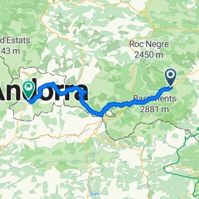
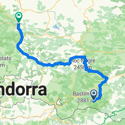
Stage 4 - Vernet-les-Bains to Palamos
- -:--
- Duration
- 177.3 km
- Distance
- 982 m
- Ascent
- 1,616 m
- Descent
- ---
- Avg. speed
- ---
- Max. altitude
Route quality
Waytypes & surfaces along the route
Waytypes
Busy road
104.4 km
(59 %)
Cycleway
30.5 km
(17 %)
Surfaces
Paved
113.5 km
(64 %)
Unpaved
7 km
(4 %)
Asphalt
100.7 km
(57 %)
Paved (undefined)
12.4 km
(7 %)
Continue with Bikemap
Use, edit, or download this cycling route
You would like to ride Stage 4 - Tour de Lads or customize it for your own trip? Here is what you can do with this Bikemap route:
Free features
- Save this route as favorite or in collections
- Copy & plan your own version of this route
- Split it into stages to create a multi-day tour
- Sync your route with Garmin or Wahoo
Premium features
Free trial for 3 days, or one-time payment. More about Bikemap Premium.
- Navigate this route on iOS & Android
- Export a GPX / KML file of this route
- Create your custom printout (try it for free)
- Download this route for offline navigation
Discover more Premium features.
Get Bikemap PremiumFrom our community
Other popular routes starting in Vernet-les-Bains
- Rob's Ride 2
- Distance
- 60.3 km
- Ascent
- 1,540 m
- Descent
- 1,529 m
- Location
- Vernet-les-Bains, Occitanie, France
- TDP - ETAPE 14
- Distance
- 73.9 km
- Ascent
- 757 m
- Descent
- 1,202 m
- Location
- Vernet-les-Bains, Occitanie, France
- Col de Mantet on a Brompton.
- Distance
- 14.3 km
- Ascent
- 1,119 m
- Descent
- 51 m
- Location
- Vernet-les-Bains, Occitanie, France
- COL DE MANTET (por Vilafranca de Conflent)
- Distance
- 21.4 km
- Ascent
- 1,759 m
- Descent
- 460 m
- Location
- Vernet-les-Bains, Occitanie, France
- Vernet_Circuit_12_am茅lior茅
- Distance
- 31.9 km
- Ascent
- 1,569 m
- Descent
- 1,596 m
- Location
- Vernet-les-Bains, Occitanie, France
- vernet les bains_sirach_retour rte
- Distance
- 31 km
- Ascent
- 815 m
- Descent
- 815 m
- Location
- Vernet-les-Bains, Occitanie, France
- canig贸2
- Distance
- 16.6 km
- Ascent
- 184 m
- Descent
- 2,010 m
- Location
- Vernet-les-Bains, Occitanie, France
- 6 Mas Dels Plans, Ayguat茅bia-Talau 脿 6 Mas Dels Plans, Ayguat茅bia-Talau
- Distance
- 5.3 km
- Ascent
- 145 m
- Descent
- 132 m
- Location
- Vernet-les-Bains, Occitanie, France
Open it in the app