Hoch hinaus am Tag der Einheit
- 125.3 km
- 1,480 m
- 1,484 m
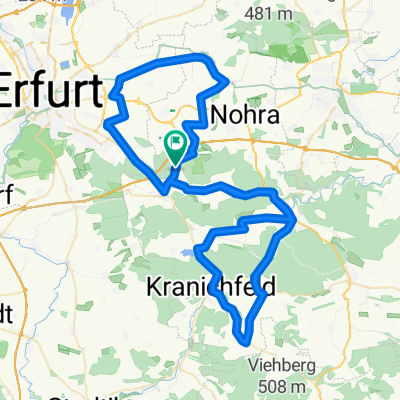
- Klettbach, Thuringia, Germany
A cycling route starting in Klettbach, Thuringia, Germany.
Overview
bike challenge 2013
created this 12 years ago
Route quality
Track
87.5 km
(31 %)
Quiet road
45.2 km
(16 %)
Paved
175.1 km
(62 %)
Unpaved
53.7 km
(19 %)
Asphalt
158.1 km
(56 %)
Gravel
39.5 km
(14 %)
Route highlights
Mühlhausen
Küllstedt Haltepunkt
Leinefelde
Bornhagen
Lengenfeld unterm Stein
Heyerode
Continue with Bikemap
You would like to ride bike-challenge-2013 or customize it for your own trip? Here is what you can do with this Bikemap route:
Free trial for 3 days, or one-time payment. More about Bikemap Premium.
Discover more Premium features.
Get Bikemap PremiumFrom our community
Open it in the app