

Rund um Gera I
A cycling route starting in Hilbersdorf, Thuringia, Germany.
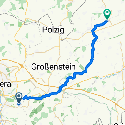
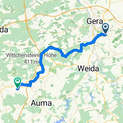
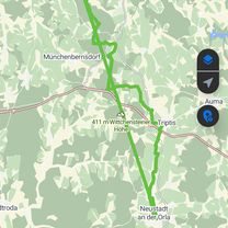
Overview
About this route
-
after Zschippern always along the Zaufensgraben towards Wintergarten
-
after Canada I had lost my bearings and rode/walked north of Gr0ßbocka along a field edge
- -:--
- Duration
- 43.1 km
- Distance
- 478 m
- Ascent
- 477 m
- Descent
- ---
- Avg. speed
- ---
- Max. altitude

Continue with Bikemap
Use, edit, or download this cycling route
You would like to ride Rund um Gera I or customize it for your own trip? Here is what you can do with this Bikemap route:
Free features
- Save this route as favorite or in collections
- Copy & plan your own version of this route
- Sync your route with Garmin or Wahoo
Premium features
Free trial for 3 days, or one-time payment. More about Bikemap Premium.
- Navigate this route on iOS & Android
- Export a GPX / KML file of this route
- Create your custom printout (try it for free)
- Download this route for offline navigation
Discover more Premium features.
Get Bikemap PremiumFrom our community
Other popular routes starting in Hilbersdorf
 Schnelle Tour in
- Distance
- 6.8 km
- Ascent
- 52 m
- Descent
- 164 m
- Location
- Hilbersdorf, Thuringia, Germany
 Kaimberg - Clodramühle - Berga - Wünschendorf - Kaimberg
- Distance
- 9 km
- Ascent
- 37 m
- Descent
- 116 m
- Location
- Hilbersdorf, Thuringia, Germany
 Kaimberg 80a nach Dorfstraße
- Distance
- 26.1 km
- Ascent
- 249 m
- Descent
- 288 m
- Location
- Hilbersdorf, Thuringia, Germany
 Schnelle Tour in Gera
- Distance
- 7.8 km
- Ascent
- 57 m
- Descent
- 130 m
- Location
- Hilbersdorf, Thuringia, Germany
 Kaimberg 60B nach K213
- Distance
- 37.3 km
- Ascent
- 516 m
- Descent
- 454 m
- Location
- Hilbersdorf, Thuringia, Germany
 Kaimberg 60B nach Kaimberg 60B
- Distance
- 72.2 km
- Ascent
- 634 m
- Descent
- 706 m
- Location
- Hilbersdorf, Thuringia, Germany
 Hilbersdorf 22, Hilbersdorf nach Parkstraße 1, Bad Elster
- Distance
- 78.7 km
- Ascent
- 1,255 m
- Descent
- 1,089 m
- Location
- Hilbersdorf, Thuringia, Germany
 Rund um Gera II
- Distance
- 67.1 km
- Ascent
- 374 m
- Descent
- 374 m
- Location
- Hilbersdorf, Thuringia, Germany
Open it in the app