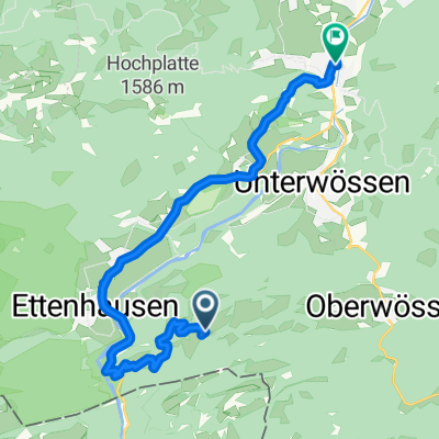
Südliche Kampenwandrunde mit Sonnen- und Oberauerbrunstalm
- 22.6 km
- 1,256 m
- 1,255 m
- Schleching, Bavaria, Germany
A cycling route starting in Schleching, Bavaria, Germany.
Overview
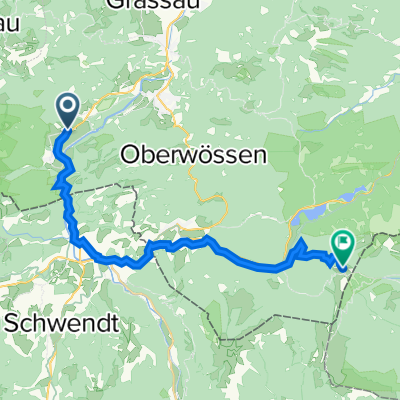
From Unterwössen, a steady, quite steep ascent to Jochbergalm. Quite challenging.
created this 12 years ago
Route quality
Track
13.7 km
(58 %)
Quiet road
5 km
(21 %)
Paved
9.2 km
(39 %)
Unpaved
14.2 km
(60 %)
Gravel
13.7 km
(58 %)
Asphalt
9.2 km
(39 %)
Continue with Bikemap
You would like to ride Jochbergalm von Zellersee aus or customize it for your own trip? Here is what you can do with this Bikemap route:
Free trial for 3 days, or one-time payment. More about Bikemap Premium.
Discover more Premium features.
Get Bikemap PremiumFrom our community
Open it in the app