

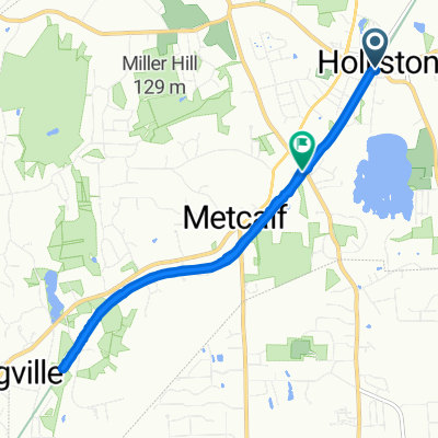
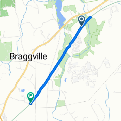
Holliston Loop
A cycling route starting in Holliston, Massachusetts, United States of America.
Overview
About this route
Ridden clockwise 6pm.
- -:--
- Duration
- 37.8 km
- Distance
- 186 m
- Ascent
- 183 m
- Descent
- ---
- Avg. speed
- ---
- Avg. speed
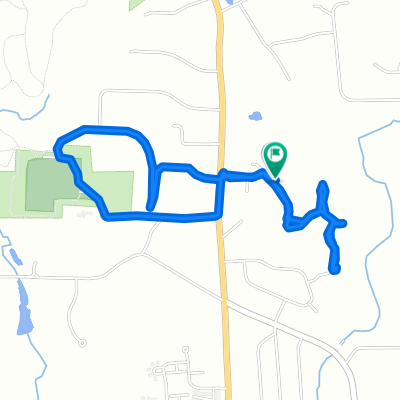
Route quality
Waytypes & surfaces along the route
Waytypes
Busy road
22.7 km
(60 %)
Access road
6.9 km
(18 %)
Surfaces
Paved
26.5 km
(70 %)
Asphalt
26.5 km
(70 %)
Paved (undefined)
0.1 km
(<1 %)
Undefined
11.2 km
(30 %)
Continue with Bikemap
Use, edit, or download this cycling route
You would like to ride Holliston Loop or customize it for your own trip? Here is what you can do with this Bikemap route:
Free features
- Save this route as favorite or in collections
- Copy & plan your own version of this route
- Sync your route with Garmin or Wahoo
Premium features
Free trial for 3 days, or one-time payment. More about Bikemap Premium.
- Navigate this route on iOS & Android
- Export a GPX / KML file of this route
- Create your custom printout (try it for free)
- Download this route for offline navigation
Discover more Premium features.
Get Bikemap PremiumFrom our community
Other popular routes starting in Holliston
 Front St, Holliston to 1373 Highland St, Holliston
- Distance
- 9.7 km
- Ascent
- 59 m
- Descent
- 38 m
- Location
- Holliston, Massachusetts, United States of America
 Restful route in Medway
- Distance
- 8 km
- Ascent
- 139 m
- Descent
- 149 m
- Location
- Holliston, Massachusetts, United States of America
 Holliston Loop
- Distance
- 37.8 km
- Ascent
- 203 m
- Descent
- 200 m
- Location
- Holliston, Massachusetts, United States of America
 Holliston Loop
- Distance
- 37.8 km
- Ascent
- 186 m
- Descent
- 183 m
- Location
- Holliston, Massachusetts, United States of America
 ECG RI Run
- Distance
- 51.5 km
- Ascent
- 163 m
- Descent
- 208 m
- Location
- Holliston, Massachusetts, United States of America
 Timber Crest Dr, Medway to Timber Crest Dr, Medway
- Distance
- 4.2 km
- Ascent
- 32 m
- Descent
- 29 m
- Location
- Holliston, Massachusetts, United States of America
 Upper Charles Trail, Holliston to Upper Charles Trail, Milford
- Distance
- 2.7 km
- Ascent
- 11 m
- Descent
- 7 m
- Location
- Holliston, Massachusetts, United States of America
 Grace to home
- Distance
- 41.6 km
- Ascent
- 292 m
- Descent
- 256 m
- Location
- Holliston, Massachusetts, United States of America
Open it in the app