

Nockspitz-Überschreitung
A cycling route starting in Innsbruck, Tyrol, Austria.
Overview
About this route
Auf dieser Tour muß das Rad getragen werden.(ca.2.Std.)(Rechenhof,Hungerburg diente damals zum Aufwärmen,Kann ma natürlich getrost weg lassen.)
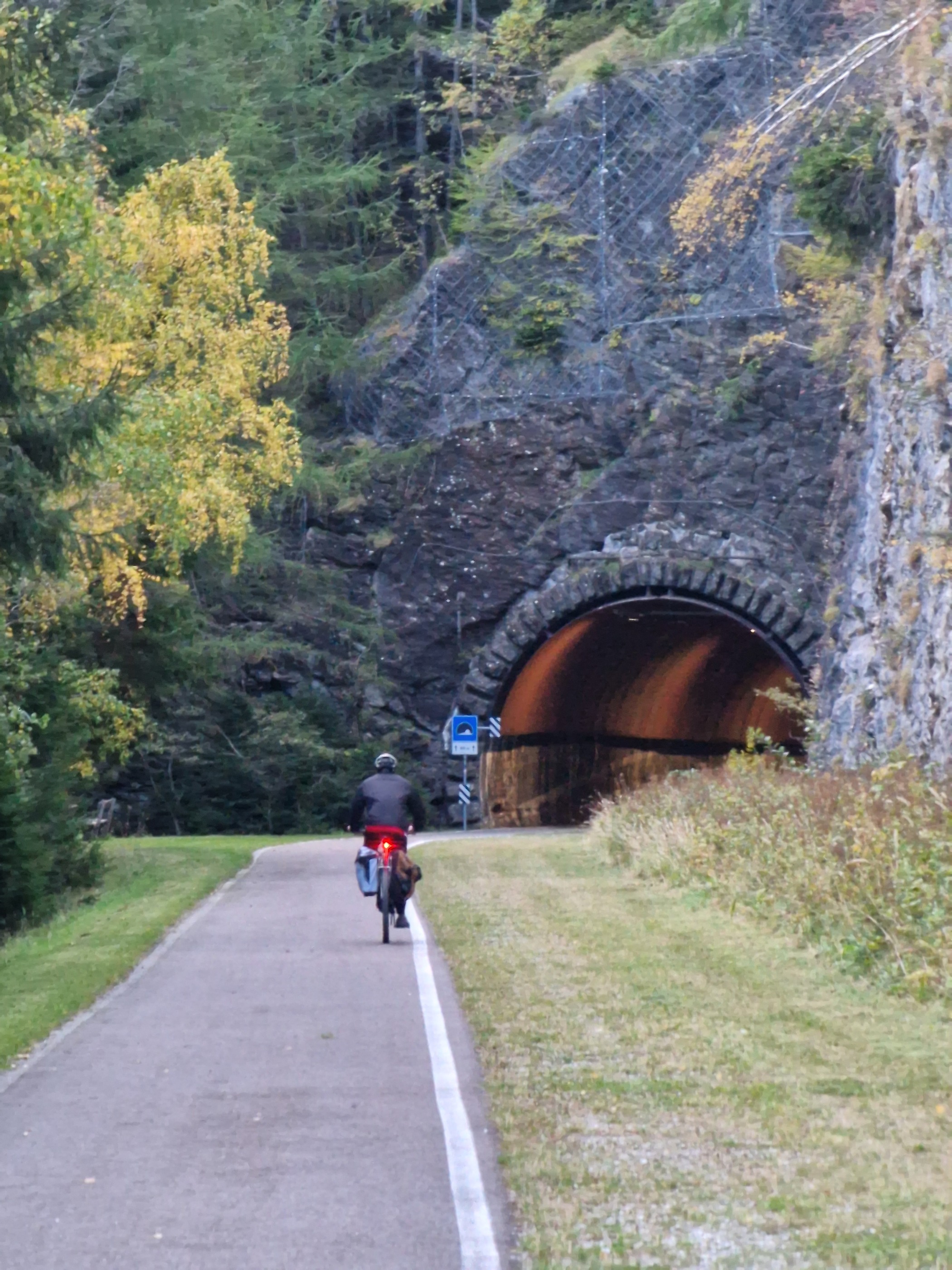
Gravel,Mountainbike.kombinierte tour:asphalt,wanderweg,Abfahrt Schotterstrasse.Nockspitz gute Aussicht über Inntal ibk.
Innsbruck-kematen-axams-lizum-nockspitz-muttereralm-mutters-ibk
Achtung:vom abstieg der nockspitz über bergfreunde-steig,mit radl am rücken.
ist ABZURATEN.(gipfel ohne rad machen)
lange tragezeit.lizum bis nockspitz und runter bis mutterre-alm sollte schon mal trainiert werden z.B.mühlauer-klamm bis rosnerweg
Gute Abfahrt nach Mutters.
- 16 h 4 min
- Duration
- 54 km
- Distance
- 2,398 m
- Ascent
- 2,385 m
- Descent
- 3.4 km/h
- Avg. speed
- 2,378 m
- Max. altitude

Route highlights
Points of interest along the route

Point of interest after 36.7 km
axamer lizum.toller ausgangspunkt für.radler und wanderrer.(rennrad-ziel)
Point of interest after 38.6 km
hinterm bär das Stubaital
Point of interest after 39.7 km
kleines Edelweiß

Point of interest after 39.8 km
verirrtes rennradl ; )
Point of interest after 39.8 km
30 Jahre alter Stahlrahmen auf der nockspitz.
Point of interest after 40.1 km
nach der heiklen stelle.blick aufs Inntal,ibk
Continue with Bikemap
Use, edit, or download this cycling route
You would like to ride Nockspitz-Überschreitung or customize it for your own trip? Here is what you can do with this Bikemap route:
Free features
- Save this route as favorite or in collections
- Copy & plan your own version of this route
- Sync your route with Garmin or Wahoo
Premium features
Free trial for 3 days, or one-time payment. More about Bikemap Premium.
- Navigate this route on iOS & Android
- Export a GPX / KML file of this route
- Create your custom printout (try it for free)
- Download this route for offline navigation
Discover more Premium features.
Get Bikemap PremiumFrom our community
Other popular routes starting in Innsbruck
 IBK - Maria Waldrast - IBK
- Distance
- 62.1 km
- Ascent
- 1,628 m
- Descent
- 1,626 m
- Location
- Innsbruck, Tyrol, Austria
 Innsbruck - Imst_original 001
- Distance
- 62.1 km
- Ascent
- 588 m
- Descent
- 448 m
- Location
- Innsbruck, Tyrol, Austria
 Innsbruck II
- Distance
- 15.7 km
- Ascent
- 1,386 m
- Descent
- 0 m
- Location
- Innsbruck, Tyrol, Austria
 Über den Brenner
- Distance
- 71.5 km
- Ascent
- 1,136 m
- Descent
- 770 m
- Location
- Innsbruck, Tyrol, Austria
 Nockspitz-Überschreitung
- Distance
- 54 km
- Ascent
- 2,398 m
- Descent
- 2,385 m
- Location
- Innsbruck, Tyrol, Austria
 Innsbruck - Viggarspitze
- Distance
- 16.9 km
- Ascent
- 1,750 m
- Descent
- 61 m
- Location
- Innsbruck, Tyrol, Austria
 Lange Ausfahrt durch Innsbruck
- Distance
- 46.3 km
- Ascent
- 68 m
- Descent
- 67 m
- Location
- Innsbruck, Tyrol, Austria
 007
007- Distance
- 87.9 km
- Ascent
- 2,182 m
- Descent
- 2,100 m
- Location
- Innsbruck, Tyrol, Austria
Open it in the app