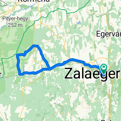
Mikes Kelemen utca, Zalaegerszeg - Dózsa György utca, Zalaegerszeg
- 61.5 km
- 283 m
- 282 m
- Zalaegerszeg, Zala County, Hungary
A cycling route starting in Zalaegerszeg, Zala County, Hungary.
Overview
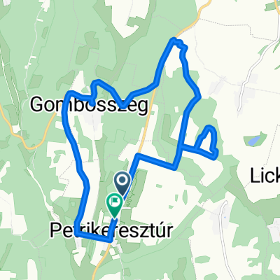
The roads to Novától Gutorföld are bad. We had planned to continue on the road towards Zalatárnok, but we encountered dogs at the fork in Zágorhid.
created this 12 years ago
Route quality
Quiet road
3.1 km
(7 %)
Cycleway
1.8 km
(4 %)
Paved
11.7 km
(26 %)
Asphalt
11.7 km
(26 %)
Undefined
33.2 km
(74 %)
Route highlights
Veszélyes kutyák szabadon
Continue with Bikemap
You would like to ride Kutyakerülő technikás or customize it for your own trip? Here is what you can do with this Bikemap route:
Free trial for 3 days, or one-time payment. More about Bikemap Premium.
Discover more Premium features.
Get Bikemap PremiumFrom our community
Open it in the app