UK roundtrip etappe 1
- 84.3 km
- 11 m
- 10 m
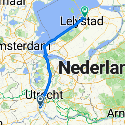
- Nieuwegein, Utrecht, The Netherlands
A cycling route starting in Nieuwegein, Utrecht, The Netherlands.
Overview
Nieuwegein, Bunnik, Zeist, Austerlitz, Driebergen, Houten
Route quality
Cycleway
24.9 km
(44 %)
Quiet road
17 km
(30 %)
Paved
44.1 km
(78 %)
Asphalt
42.4 km
(75 %)
Concrete
1.7 km
(3 %)
Undefined
12.4 km
(22 %)
Continue with Bikemap
You would like to ride Rondje Zeist or customize it for your own trip? Here is what you can do with this Bikemap route:
Free trial for 3 days, or one-time payment. More about Bikemap Premium.
Discover more Premium features.
Get Bikemap PremiumFrom our community
Open it in the app