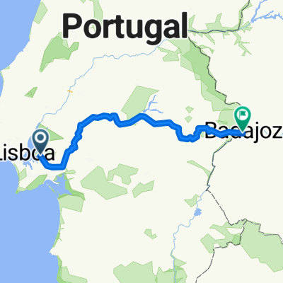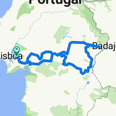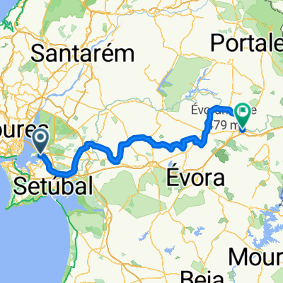
Avenida dos Pescadores, Montijo to Largo dos Combatentes da Grande Guerra, Estremoz
- 203.6 km
- 1,567 m
- 1,157 m
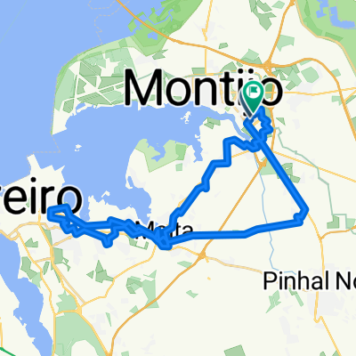
- Montijo, Setúbal District, Portugal
A cycling route starting in Montijo, Setúbal District, Portugal.
Overview
u
Route quality
Road
3.5 km
(25 %)
Quiet road
2.9 km
(21 %)
Paved
5.9 km
(43 %)
Asphalt
5.8 km
(42 %)
Concrete
0.1 km
(1 %)
Undefined
7.9 km
(57 %)
Continue with Bikemap
You would like to ride Montijo Fähre nach hause or customize it for your own trip? Here is what you can do with this Bikemap route:
Free trial for 3 days, or one-time payment. More about Bikemap Premium.
Discover more Premium features.
Get Bikemap PremiumFrom our community
Open it in the app