St. Ottilien nach Weßling
- 18.1 km
- 164 m
- 173 m
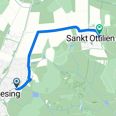
- Eresing, Bavaria, Germany
A cycling route starting in Eresing, Bavaria, Germany.
Overview
Route still in planning.
Due to the lack of a zoom function, it is cumbersome to use.created this 12 years ago
Route quality
Road
1.9 km
(44 %)
Track
0.9 km
(20 %)
Paved
4.4 km
(100 %)
Asphalt
4.4 km
(100 %)
Route highlights
Continue with Bikemap
You would like to ride 13.09.10 Geltendorf-Oberstaufen or customize it for your own trip? Here is what you can do with this Bikemap route:
Free trial for 3 days, or one-time payment. More about Bikemap Premium.
Discover more Premium features.
Get Bikemap PremiumFrom our community
Open it in the app