0012 to Colmar
- 82.1 km
- 811 m
- 1,002 m
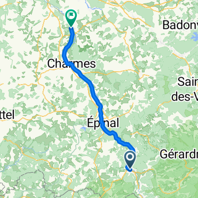
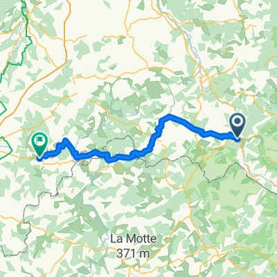
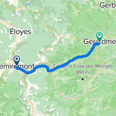
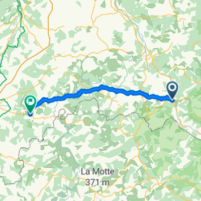
- Remiremont, Grand Est, France
A cycling route starting in Remiremont, Grand Est, France.
Overview
Riding, but the slope often changes; the wind is also part of the game.
Route quality
Road
6.5 km
(17 %)
Quiet road
5 km
(13 %)
Undefined
26.8 km
(70 %)
Paved
14.6 km
(38 %)
Asphalt
14.6 km
(38 %)
Undefined
23.8 km
(62 %)
Continue with Bikemap
You would like to ride chrono saint etienne col de raon arches eloyes la suche saint étienne or customize it for your own trip? Here is what you can do with this Bikemap route:
Free trial for 3 days, or one-time payment. More about Bikemap Premium.
Discover more Premium features.
Get Bikemap PremiumFrom our community
Open it in the app