

ROUTE ANTONIA
A cycling route starting in Wesel, North Rhine-Westphalia, Germany.
Overview
About this route
WESEL RATHAUS FELDMARK LACKHAUSEN HAMINKELN BISLICHER WALD BISLICH
- -:--
- Duration
- 31.8 km
- Distance
- 70 m
- Ascent
- 69 m
- Descent
- ---
- Avg. speed
- ---
- Max. altitude
Route quality
Waytypes & surfaces along the route
Waytypes
Quiet road
22.6 km
(71 %)
Path
5.1 km
(16 %)
Surfaces
Paved
25.1 km
(79 %)
Unpaved
1.3 km
(4 %)
Asphalt
24.8 km
(78 %)
Ground
0.6 km
(2 %)
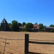
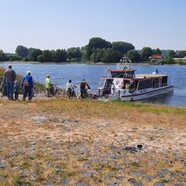
Route highlights
Points of interest along the route
Point of interest after 11.6 km
STRAUSSENFARM
Point of interest after 22.8 km
CAFE DIENSTAGD GESCHLOSSEN
Continue with Bikemap
Use, edit, or download this cycling route
You would like to ride ROUTE ANTONIA or customize it for your own trip? Here is what you can do with this Bikemap route:
Free features
- Save this route as favorite or in collections
- Copy & plan your own version of this route
- Sync your route with Garmin or Wahoo
Premium features
Free trial for 3 days, or one-time payment. More about Bikemap Premium.
- Navigate this route on iOS & Android
- Export a GPX / KML file of this route
- Create your custom printout (try it for free)
- Download this route for offline navigation
Discover more Premium features.
Get Bikemap PremiumFrom our community
Other popular routes starting in Wesel
 От Fischertorstraße до Hansaring
- Distance
- 14.3 km
- Ascent
- 34 m
- Descent
- 83 m
- Location
- Wesel, North Rhine-Westphalia, Germany
 Flüren-Dingden
- Distance
- 32 km
- Ascent
- 38 m
- Descent
- 41 m
- Location
- Wesel, North Rhine-Westphalia, Germany
 pfingsttour
- Distance
- 63.6 km
- Ascent
- 102 m
- Descent
- 105 m
- Location
- Wesel, North Rhine-Westphalia, Germany
 Reeser Landstraße 11, Wesel do Landen
- Distance
- 234.3 km
- Ascent
- 1,099 m
- Descent
- 1,002 m
- Location
- Wesel, North Rhine-Westphalia, Germany
 Wesel-Hohe Mark
- Distance
- 109.8 km
- Ascent
- 177 m
- Descent
- 181 m
- Location
- Wesel, North Rhine-Westphalia, Germany
 Wesel - Marl Hüls
- Distance
- 51.4 km
- Ascent
- 251 m
- Descent
- 217 m
- Location
- Wesel, North Rhine-Westphalia, Germany
 Reeser Landstraße 42, Wesel nach Bislich Am Fährhaus nach Reeser Landstraße 42, Wesel
- Distance
- 22.8 km
- Ascent
- 60 m
- Descent
- 98 m
- Location
- Wesel, North Rhine-Westphalia, Germany
 Wesel 2 Tag Rundtour
- Distance
- 47.8 km
- Ascent
- 63 m
- Descent
- 62 m
- Location
- Wesel, North Rhine-Westphalia, Germany
Open it in the app