Meanwood - Chevin Country Park
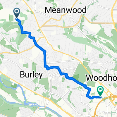
A cycling route starting in Chapel Allerton, England, United Kingdom.
Overview
About this route
Tracks linking A660 to lane running south from Bramhope only exist between the farms and nearest roads, the remainder are non-existent/overgrown, so not advisable.
- -:--
- Duration
- 29.6 km
- Distance
- 320 m
- Ascent
- 320 m
- Descent
- ---
- Avg. speed
- ---
- Max. altitude
Route quality
Waytypes & surfaces along the route
Waytypes
Road
12.2 km
(41 %)
Quiet road
10.8 km
(36 %)
Surfaces
Paved
16.6 km
(56 %)
Unpaved
0.2 km
(<1 %)
Asphalt
16.6 km
(56 %)
Unpaved (undefined)
0.2 km
(<1 %)
Undefined
12.8 km
(43 %)
Continue with Bikemap
Use, edit, or download this cycling route
You would like to ride Meanwood - Chevin Country Park or customize it for your own trip? Here is what you can do with this Bikemap route:
Free features
- Save this route as favorite or in collections
- Copy & plan your own version of this route
- Sync your route with Garmin or Wahoo
Premium features
Free trial for 3 days, or one-time payment. More about Bikemap Premium.
- Navigate this route on iOS & Android
- Export a GPX / KML file of this route
- Create your custom printout (try it for free)
- Download this route for offline navigation
Discover more Premium features.
Get Bikemap PremiumFrom our community
Other popular routes starting in Chapel Allerton
- Lower Wharfedale (short version)
- Distance
- 54.8 km
- Ascent
- 431 m
- Descent
- 443 m
- Location
- Chapel Allerton, England, United Kingdom
- 1 Lakeland Drive, Leeds to 1 Lakeland Drive, Leeds
- Distance
- 23.2 km
- Ascent
- 317 m
- Descent
- 311 m
- Location
- Chapel Allerton, England, United Kingdom
- Meanwood - Chevin Country Park
- Distance
- 29.6 km
- Ascent
- 320 m
- Descent
- 320 m
- Location
- Chapel Allerton, England, United Kingdom
- Sandhill Drive 11 to Sandhill Oval 14
- Distance
- 24.2 km
- Ascent
- 179 m
- Descent
- 191 m
- Location
- Chapel Allerton, England, United Kingdom
- Home to work via A61 intersection
- Distance
- 10.6 km
- Ascent
- 142 m
- Descent
- 140 m
- Location
- Chapel Allerton, England, United Kingdom
- old chevin
- Distance
- 29.8 km
- Ascent
- 339 m
- Descent
- 338 m
- Location
- Chapel Allerton, England, United Kingdom
- wike and eccup 25km
- Distance
- 24.5 km
- Ascent
- 245 m
- Descent
- 248 m
- Location
- Chapel Allerton, England, United Kingdom
- NCN67 out to Fairburn Ings and return
- Distance
- 58.5 km
- Ascent
- 245 m
- Descent
- 242 m
- Location
- Chapel Allerton, England, United Kingdom
Open it in the app