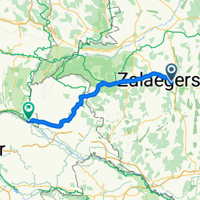
Zalaegerszeg-Gógán-hegy
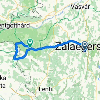
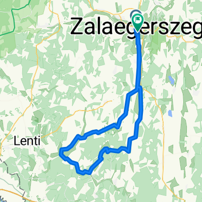
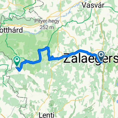
A cycling route starting in Zalaegerszeg, Zala County, Hungary.
Overview
About this route
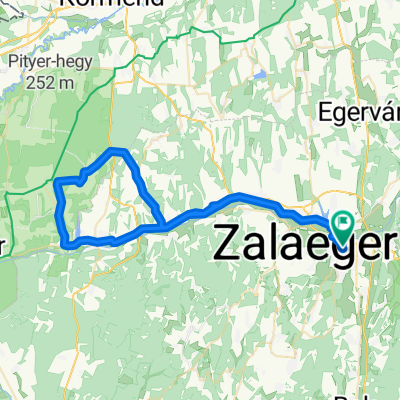
Short loop southwest of Zalaegerszeg
- -:--
- Duration
- 17.5 km
- Distance
- 434 m
- Ascent
- 434 m
- Descent
- ---
- Avg. speed
- ---
- Max. altitude
Route quality
Waytypes & surfaces along the route
Waytypes
Quiet road
9.6 km
(55 %)
Cycleway
3.2 km
(18 %)
Surfaces
Paved
15.1 km
(86 %)
Asphalt
15.1 km
(86 %)
Undefined
2.5 km
(14 %)
Continue with Bikemap
Use, edit, or download this cycling route
You would like to ride Zalaegerszeg-Gógán-hegy or customize it for your own trip? Here is what you can do with this Bikemap route:
Free features
- Save this route as favorite or in collections
- Copy & plan your own version of this route
- Sync your route with Garmin or Wahoo
Premium features
Free trial for 3 days, or one-time payment. More about Bikemap Premium.
- Navigate this route on iOS & Android
- Export a GPX / KML file of this route
- Create your custom printout (try it for free)
- Download this route for offline navigation
Discover more Premium features.
Get Bikemap PremiumFrom our community
Other popular routes starting in Zalaegerszeg
- Őrségi kör
- Distance
- 85.5 km
- Ascent
- 312 m
- Descent
- 312 m
- Location
- Zalaegerszeg, Zala County, Hungary
- 5 megyén keresztül két keréken
- Distance
- 588.2 km
- Ascent
- 525 m
- Descent
- 569 m
- Location
- Zalaegerszeg, Zala County, Hungary
- Zeg- szegek- Becsvölgye- Zeg
- Distance
- 49.5 km
- Ascent
- 475 m
- Descent
- 476 m
- Location
- Zalaegerszeg, Zala County, Hungary
- B verzió
- Distance
- 102.9 km
- Ascent
- 469 m
- Descent
- 473 m
- Location
- Zalaegerszeg, Zala County, Hungary
- Kutyakerülő technikás
- Distance
- 44.8 km
- Ascent
- 322 m
- Descent
- 308 m
- Location
- Zalaegerszeg, Zala County, Hungary
- Zala töltés - Karácsony hegy - Botfa - Göcseji út
- Distance
- 24.5 km
- Ascent
- 212 m
- Descent
- 212 m
- Location
- Zalaegerszeg, Zala County, Hungary
- Enduro reverse - ringlóval ;)
- Distance
- 19.9 km
- Ascent
- 238 m
- Descent
- 248 m
- Location
- Zalaegerszeg, Zala County, Hungary
- Zalaegerszeg (Ságod), termálfürdő - Zalaegerszeg (Ságod), termálfürdő
- Distance
- 15.7 km
- Ascent
- 115 m
- Descent
- 112 m
- Location
- Zalaegerszeg, Zala County, Hungary
Open it in the app