Rheintal-3-Länder-Runde (inkl. Malbun)
- 99.1 km
- 2,159 m
- 2,171 m
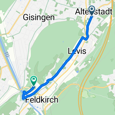
- Rankweil, Vorarlberg, Austria
A cycling route starting in Rankweil, Vorarlberg, Austria.
Overview
created this 16 years ago
Route quality
Track
3.5 km
(8 %)
Access road
0.4 km
(1 %)
Paved
41.9 km
(96 %)
Unpaved
1.3 km
(3 %)
Asphalt
41.9 km
(96 %)
Gravel
1.3 km
(3 %)
Undefined
0.4 km
(1 %)
Route highlights
\"")
Furkajoch 1761m - Blick auf Damüls (das schneereichste Dorf der Welt !)
Continue with Bikemap
You would like to ride Rankweil 470m - Furkajoch 1761m - Rankweil (meine Haus-Bergstrecke) or customize it for your own trip? Here is what you can do with this Bikemap route:
Free trial for 3 days, or one-time payment. More about Bikemap Premium.
Discover more Premium features.
Get Bikemap PremiumFrom our community
Open it in the app