Giro delle Dolomiti del Brenta AO
- 132.5 km
- 3,559 m
- 3,532 m
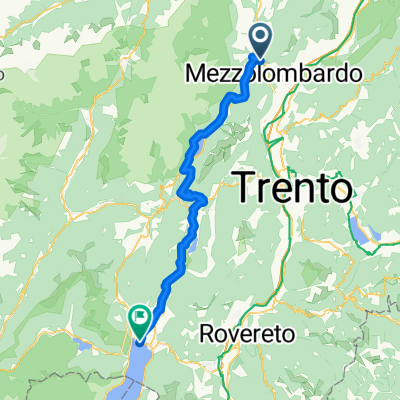
- Spormaggiore, Trentino-Alto Adige, Italy
A cycling route starting in Spormaggiore, Trentino-Alto Adige, Italy.
Overview
From Tuenno, we ride about 20 km to Spormaggiore to shorten the route to 60 km.
Start in Spormaggiore (590m) at 10 o'clock sharp - during the day there were scattered also quite strong rain showers, so we didn't drag our rain gear around for nothing ;-) First, we ride 2 km downhill to 535m, only to immediately have to tackle a steep ascent on a forest path (550 m of elevation gain over 6.5 km). After some downhill riding past the Lago di Andalo and another steep climb (170 m of elevation gain over 2 km), we've reached today's highest point - 1,185m In the following Molveno (835m), there's a small snack. We continue riding past the Lago di Molveno on a forest path with short, punchy climbs and equally punchy descents until the final fast descent to Lago di Toblino (250m). On asphalt, we continue gradually downhill, but with quite a headwind. With a pushing section through a rocky field (293m), where a 'No Bikes' sign stood in the middle, we bid farewell to the Alps. The last 10 km we ride leisurely along the Fiume Sarca to and into Lake Garda (62m). WE MADE IT!!! Until next time!created this 12 years ago
Route quality
Track
21.6 km
35 %
Quiet road
15.4 km
25 %
Paved
33.3 km
(54 %)
Unpaved
16 km
(26 %)
Asphalt
30.2 km
49 %
Gravel
12.9 km
21 %
Continue with Bikemap
You would like to ride Alpencross 2013 - Tag 7 - 08.09.2013 or customize it for your own trip? Here is what you can do with this Bikemap route:
Free trial for 3 days, or one-time payment. More about Bikemap Premium.
Discover more Premium features.
Get Bikemap PremiumFrom our community
Open it in the app