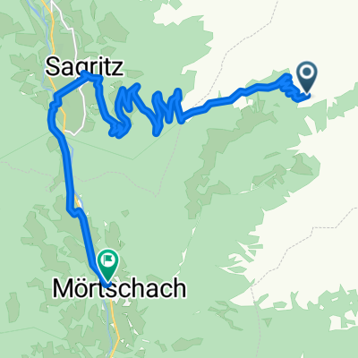
Grossglockner from Döllach
- 81.5 km
- 2,474 m
- 2,474 m
- Großkirchheim, Carinthia, Austria
Nice but difficult route from Döllach (Austria), leading to Franz Josephs Höhe and Edelweissspitze (Grossglockner) and back to Döllach. Magnificent views!
Road
49.7 km61 %Quiet road
9 km11 %Paved
60.3 km(74 %)Unpaved
4.9 km(6 %)Asphalt
60.3 km74 %Ground
3.3 km4 %Free trial for 3 days, or one-time payment. More about Bikemap Premium.
Discover more Premium features.
Get Bikemap PremiumOpen it in the app