Oakhurst to Yosemite Loop (Less Highway)
- 195 km
- 5,516 m
- 5,512 m
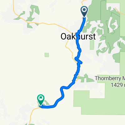
- Oakhurst, California, United States
A cycling route starting in Oakhurst, California, United States.
Overview
CALIFORNIA 14.7.13 - FORKS CAMPGROUND - TRIMMER CAMPGROUND
created this 12 years ago
Route quality
Road
26.9 km
(31 %)
Quiet road
19.9 km
(23 %)
Paved
60.7 km
(70 %)
Asphalt
60.7 km
(70 %)
Undefined
26 km
(30 %)
Continue with Bikemap
You would like to ride KALIFORNIE 14.7.13 - FORKS CAMPGROUND - TRIMMER CAMPGROUND or customize it for your own trip? Here is what you can do with this Bikemap route:
Free trial for 3 days, or one-time payment. More about Bikemap Premium.
Discover more Premium features.
Get Bikemap PremiumFrom our community
Open it in the app