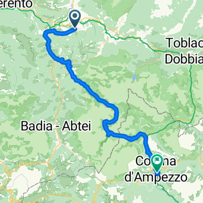
Bruneck-Toblach-SchluderbachVigiltal-Bruneck
- 90.9 km
- 1,370 m
- 1,365 m
- Riscone, Trentino-Alto Adige, Italy
A cycling route starting in Riscone, Trentino-Alto Adige, Italy.
Overview
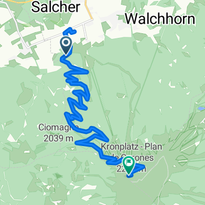
Up to the Plätzwiese meadow to Strudelkopf and to the Dürrensteiner hut.
created this 12 years ago
Continue with Bikemap
You would like to ride Reischach - Dürrensteiner Hütte or customize it for your own trip? Here is what you can do with this Bikemap route:
Free trial for 3 days, or one-time payment. More about Bikemap Premium.
Discover more Premium features.
Get Bikemap PremiumFrom our community
Open it in the app