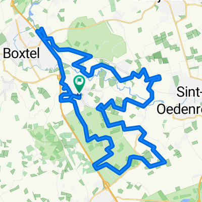
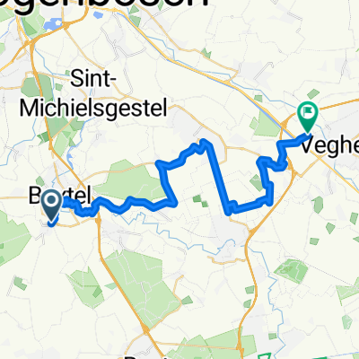
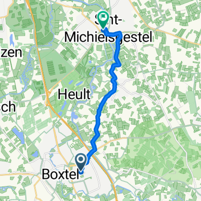
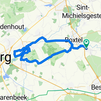
Campina wandeltocht
A cycling route starting in Boxtel, North Brabant, The Netherlands.
Overview
About this route
Campina hike from Boxtel station to Oisterwijk station
- -:--
- Duration
- 16.9 km
- Distance
- 34 m
- Ascent
- 35 m
- Descent
- ---
- Avg. speed
- ---
- Max. altitude
Continue with Bikemap
Use, edit, or download this cycling route
You would like to ride Campina wandeltocht or customize it for your own trip? Here is what you can do with this Bikemap route:
Free features
- Save this route as favorite or in collections
- Copy & plan your own version of this route
- Sync your route with Garmin or Wahoo
Premium features
Free trial for 3 days, or one-time payment. More about Bikemap Premium.
- Navigate this route on iOS & Android
- Export a GPX / KML file of this route
- Create your custom printout (try it for free)
- Download this route for offline navigation
Discover more Premium features.
Get Bikemap PremiumFrom our community
Other popular routes starting in Boxtel
- Rondom Boxtel - 82k 0hm
- Distance
- 82.6 km
- Ascent
- 50 m
- Descent
- 51 m
- Location
- Boxtel, North Brabant, The Netherlands
- Zonnig rondje rivieren
- Distance
- 111.1 km
- Ascent
- 28 m
- Descent
- 31 m
- Location
- Boxtel, North Brabant, The Netherlands
- Esch-oisterwijk
- Distance
- 35.1 km
- Ascent
- 27 m
- Descent
- 27 m
- Location
- Boxtel, North Brabant, The Netherlands
- Fietsroute Sprookjesachtig Brabant
- Distance
- 44.2 km
- Ascent
- 0 m
- Descent
- 0 m
- Location
- Boxtel, North Brabant, The Netherlands
- rondje eindhoven
- Distance
- 77.9 km
- Ascent
- 65 m
- Descent
- 66 m
- Location
- Boxtel, North Brabant, The Netherlands
- Easy ride in Veghel
- Distance
- 18.1 km
- Ascent
- 8 m
- Descent
- 8 m
- Location
- Boxtel, North Brabant, The Netherlands
- Boxtel-Geneve
- Distance
- 937.6 km
- Ascent
- 3,095 m
- Descent
- 3,094 m
- Location
- Boxtel, North Brabant, The Netherlands
- Esch030619
- Distance
- 41.4 km
- Ascent
- 51 m
- Descent
- 52 m
- Location
- Boxtel, North Brabant, The Netherlands
Open it in the app