Letzter Urlaubstag
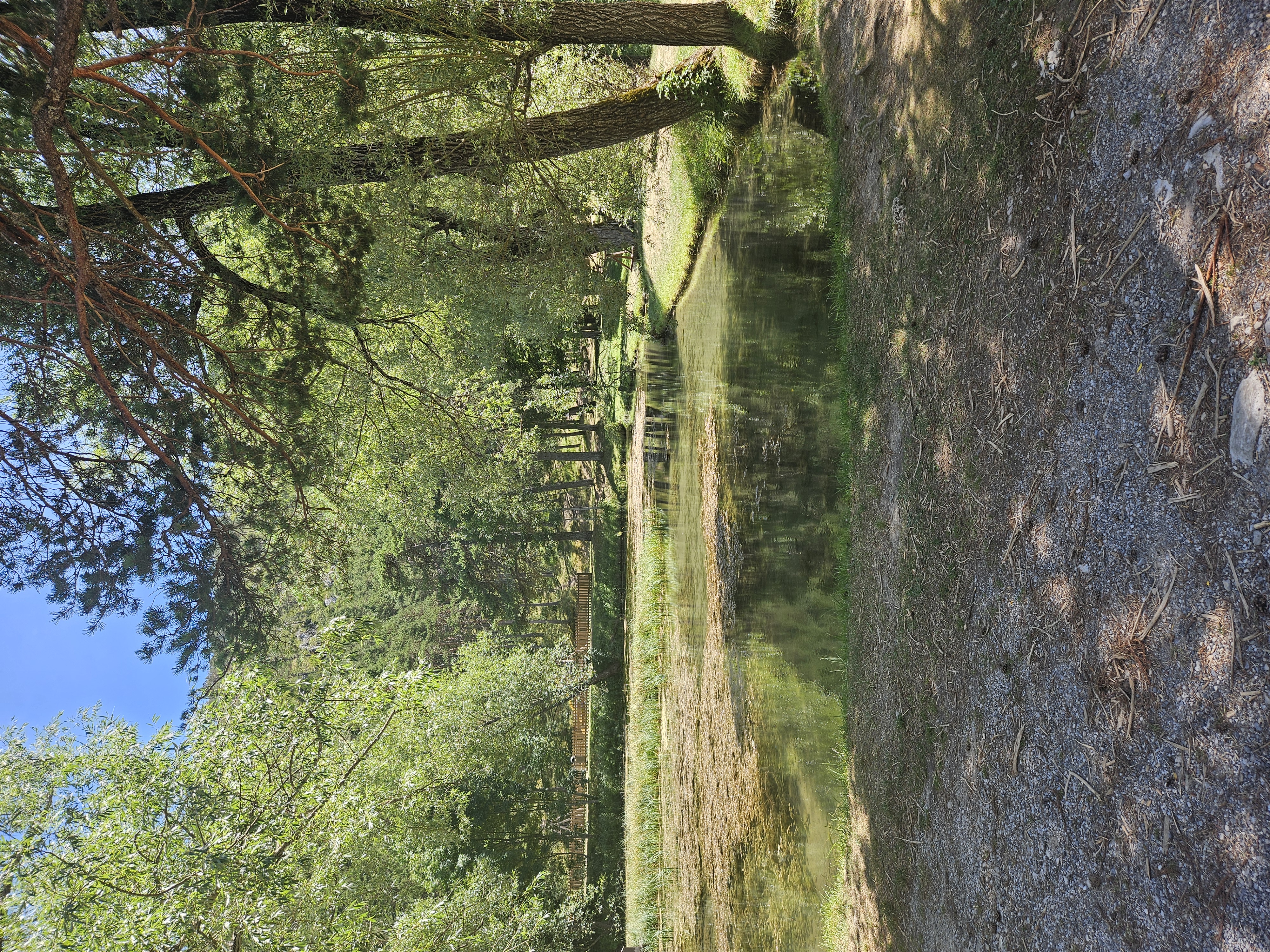
A cycling route starting in Annot, Provence-Alpes-C么te d'Azur Region, France.
Overview
About this route
Und zum Col des Champs geht`s doch bergauf.
- -:--
- Duration
- 73.5 km
- Distance
- 1,897 m
- Ascent
- 1,409 m
- Descent
- ---
- Avg. speed
- ---
- Max. altitude
Route quality
Waytypes & surfaces along the route
Waytypes
Road
40.3 km
(55 %)
Busy road
30.2 km
(41 %)
Surfaces
Paved
60.3 km
(82 %)
Unpaved
0.2 km
(<1 %)
Asphalt
59.9 km
(82 %)
Paved (undefined)
0.4 km
(<1 %)
Continue with Bikemap
Use, edit, or download this cycling route
You would like to ride Letzter Urlaubstag or customize it for your own trip? Here is what you can do with this Bikemap route:
Free features
- Save this route as favorite or in collections
- Copy & plan your own version of this route
- Sync your route with Garmin or Wahoo
Premium features
Free trial for 3 days, or one-time payment. More about Bikemap Premium.
- Navigate this route on iOS & Android
- Export a GPX / KML file of this route
- Create your custom printout (try it for free)
- Download this route for offline navigation
Discover more Premium features.
Get Bikemap PremiumFrom our community
Other popular routes starting in Annot
- Letzter Urlaubstag
- Distance
- 73.5 km
- Ascent
- 1,897 m
- Descent
- 1,409 m
- Location
- Annot, Provence-Alpes-C么te d'Azur Region, France
- SAINT AUBAN - ROQUESTERON
- Distance
- 47.6 km
- Ascent
- 706 m
- Descent
- 1,504 m
- Location
- Annot, Provence-Alpes-C么te d'Azur Region, France
- Fra - day 8_1_3
- Distance
- 110.1 km
- Ascent
- 1,785 m
- Descent
- 2,400 m
- Location
- Annot, Provence-Alpes-C么te d'Azur Region, France
- 7. Verdon Runde
- Distance
- 112.7 km
- Ascent
- 1,413 m
- Descent
- 1,442 m
- Location
- Annot, Provence-Alpes-C么te d'Azur Region, France
- Gorge de Verdon to Arles
- Distance
- 261.6 km
- Ascent
- 5,326 m
- Descent
- 6,205 m
- Location
- Annot, Provence-Alpes-C么te d'Azur Region, France
- Francia- 茅s Provence Alpok, Cote d'Azur 7. nap
- Distance
- 100 km
- Ascent
- 1,611 m
- Descent
- 1,814 m
- Location
- Annot, Provence-Alpes-C么te d'Azur Region, France
- boucles_du_verdon 012
- Distance
- 153.1 km
- Ascent
- 1,889 m
- Descent
- 1,878 m
- Location
- Annot, Provence-Alpes-C么te d'Azur Region, France
- Col des Champs Vall茅e du Var
- Distance
- 105.2 km
- Ascent
- 1,968 m
- Descent
- 1,949 m
- Location
- Annot, Provence-Alpes-C么te d'Azur Region, France
Open it in the app