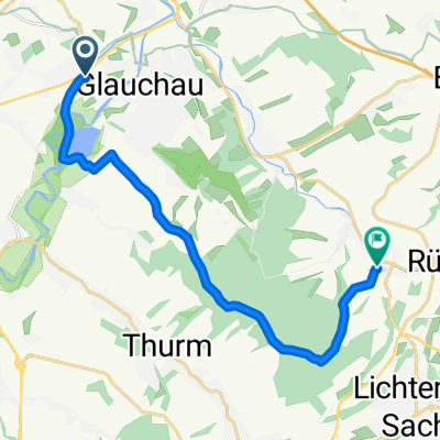
GC - Gersdorf - Adorf - Klaffenbach - Stadtpark - H.
A cycling route starting in Glauchau, Saxony, Germany.
Overview
About this route
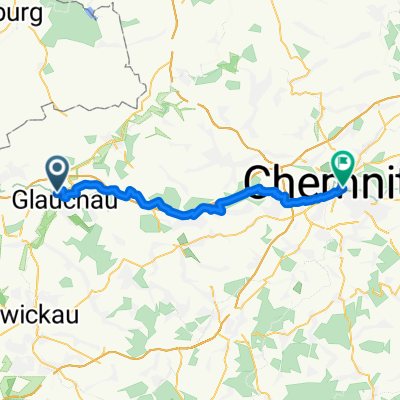
Fahrt von Glauchau nach Chemnitz mit einigen Umwegen. Neu ist der Radweg zwischen Lugau und Erlbach, der dann nach Ursprung weitergeht. Die Strecke von Jahnsdorf über Adorf nach Klaffenbach ist suboptimal, da einige (unnötige) Anstiege dabei sind!
(c) 13.09.2013 - -:--
- Duration
- 52.9 km
- Distance
- 340 m
- Ascent
- 288 m
- Descent
- ---
- Avg. speed
- ---
- Avg. speed
Route quality
Waytypes & surfaces along the route
Waytypes
Road
23 km
(43 %)
Busy road
17.8 km
(34 %)
Surfaces
Paved
50.4 km
(95 %)
Unpaved
1.6 km
(3 %)
Asphalt
49.7 km
(94 %)
Gravel
1.1 km
(2 %)
Continue with Bikemap
Use, edit, or download this cycling route
You would like to ride GC - Gersdorf - Adorf - Klaffenbach - Stadtpark - H. or customize it for your own trip? Here is what you can do with this Bikemap route:
Free features
- Save this route as favorite or in collections
- Copy & plan your own version of this route
- Sync your route with Garmin or Wahoo
Premium features
Free trial for 3 days, or one-time payment. More about Bikemap Premium.
- Navigate this route on iOS & Android
- Export a GPX / KML file of this route
- Create your custom printout (try it for free)
- Download this route for offline navigation
Discover more Premium features.
Get Bikemap PremiumFrom our community
Other popular routes starting in Glauchau
- Durch Rümpfwald und Mülsengrund
- Distance
- 23 km
- Ascent
- 168 m
- Descent
- 157 m
- Location
- Glauchau, Saxony, Germany
- From Muelsen To Goessnitz
- Distance
- 16 km
- Ascent
- 66 m
- Descent
- 110 m
- Location
- Glauchau, Saxony, Germany
- Brücke-bis-Karlsweg
- Distance
- 3.4 km
- Ascent
- 6 m
- Descent
- 9 m
- Location
- Glauchau, Saxony, Germany
- Radtour kindgerecht ab 4 Jahre
- Distance
- 17.8 km
- Ascent
- 67 m
- Descent
- 34 m
- Location
- Glauchau, Saxony, Germany
- BA-GL3 15 km üb Lobsd B180 Hohenst-Ernstt
- Distance
- 15 km
- Ascent
- 212 m
- Descent
- 146 m
- Location
- Glauchau, Saxony, Germany
- 2308
- Distance
- 30.5 km
- Ascent
- 215 m
- Descent
- 214 m
- Location
- Glauchau, Saxony, Germany
- Mulderadweg - Abschnitt Glauchau bis Rochlitz (Zwickauer Mulde)
- Distance
- 44.2 km
- Ascent
- 453 m
- Descent
- 534 m
- Location
- Glauchau, Saxony, Germany
- Fichtelbergtour 2013
- Distance
- 185.4 km
- Ascent
- 1,731 m
- Descent
- 1,730 m
- Location
- Glauchau, Saxony, Germany
Open it in the app