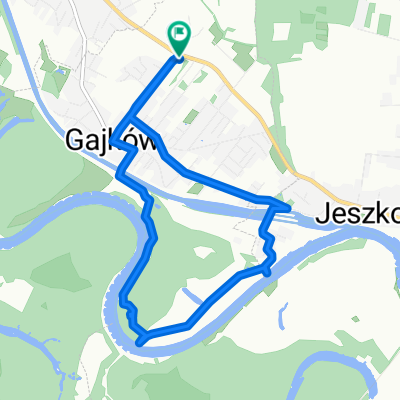
Tour de Gmina Czernica ;)
- 19.5 km
- 23 m
- 23 m
- Kamieniec Wrocławski, Lower Silesian Voivodeship, Poland
A cycling route starting in Kamieniec Wrocławski, Lower Silesian Voivodeship, Poland.
Overview
Simple route for amateurs. Low number of cars on the road, and after turning in Czernica towards Wojnowice, we ride on asphalt practically undisturbed by motor vehicles.
created this 12 years ago
Route quality
Road
7.2 km
(37 %)
Quiet road
4.9 km
(25 %)
Paved
14.2 km
(73 %)
Unpaved
1.4 km
(7 %)
Asphalt
14.2 km
(73 %)
Unpaved (undefined)
1.2 km
(6 %)
Continue with Bikemap
You would like to ride Tour de Gmina Czernica ;) or customize it for your own trip? Here is what you can do with this Bikemap route:
Free trial for 3 days, or one-time payment. More about Bikemap Premium.
Discover more Premium features.
Get Bikemap PremiumFrom our community
Open it in the app