Settle - Ripon
- 74.6 km
- 1,184 m
- 1,304 m
- Settle, England, United Kingdom
A cycling route starting in Settle, England, United Kingdom.
Overview
Options to routes included
<br /> Total distance Option A - 77km Total distance Option B - 88km Full distance - 114km (cloned from route 2331305)created this 12 years ago
Route quality
Quiet road
44.5 km
(39 %)
Road
10.3 km
(9 %)
Paved
38.8 km
(34 %)
Asphalt
38.8 km
(34 %)
Undefined
75.3 km
(66 %)
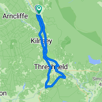
Route highlights
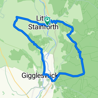
Option A - Stainforth to Settle
Option B - Helwith Bridge to Austwick
Continue with Bikemap
You would like to ride 3 Peaks Route or customize it for your own trip? Here is what you can do with this Bikemap route:
Free trial for 3 days, or one-time payment. More about Bikemap Premium.
Discover more Premium features.
Get Bikemap PremiumFrom our community
Open it in the app