Mittersheim - Toul
A cycling route starting in Sarrewerden, Grand Est, France.
Overview
About this route
Gerd - Hans - Manfred - Peter - Werner
- -:--
- Duration
- 129.3 km
- Distance
- 324 m
- Ascent
- 337 m
- Descent
- ---
- Avg. speed
- ---
- Max. altitude
Route quality
Waytypes & surfaces along the route
Waytypes
Path
29.7 km
(23 %)
Cycleway
27.1 km
(21 %)
Surfaces
Paved
98.2 km
(76 %)
Unpaved
5.2 km
(4 %)
Asphalt
84 km
(65 %)
Paved (undefined)
14.2 km
(11 %)
Continue with Bikemap
Use, edit, or download this cycling route
You would like to ride Mittersheim - Toul or customize it for your own trip? Here is what you can do with this Bikemap route:
Free features
- Save this route as favorite or in collections
- Copy & plan your own version of this route
- Split it into stages to create a multi-day tour
- Sync your route with Garmin or Wahoo
Premium features
Free trial for 3 days, or one-time payment. More about Bikemap Premium.
- Navigate this route on iOS & Android
- Export a GPX / KML file of this route
- Create your custom printout (try it for free)
- Download this route for offline navigation
Discover more Premium features.
Get Bikemap PremiumFrom our community
Other popular routes starting in Sarrewerden
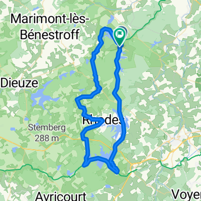
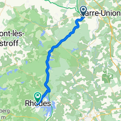
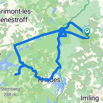
- De Rue de l'Étang à Rue de l'Étang
- Distance
- 61.8 km
- Ascent
- 558 m
- Descent
- 610 m
- Location
- Sarrewerden, Grand Est, France
- sarrebruck harskirchen
- Distance
- 48.4 km
- Ascent
- 107 m
- Descent
- 140 m
- Location
- Sarrewerden, Grand Est, France
- Mittersheim - Toul
- Distance
- 129.3 km
- Ascent
- 324 m
- Descent
- 337 m
- Location
- Sarrewerden, Grand Est, France
- Mittersheim - Metzeral
- Distance
- 188.3 km
- Ascent
- 761 m
- Descent
- 495 m
- Location
- Sarrewerden, Grand Est, France
- Mittersheim-Saverne
- Distance
- 78.8 km
- Ascent
- 388 m
- Descent
- 381 m
- Location
- Sarrewerden, Grand Est, France
- 04 Zomer 24
- Distance
- 76.1 km
- Ascent
- 272 m
- Descent
- 268 m
- Location
- Sarrewerden, Grand Est, France
- 12 - Mittersheim/Saverne
- Distance
- 66.7 km
- Ascent
- 257 m
- Descent
- 259 m
- Location
- Sarrewerden, Grand Est, France
- CHEMNITZ SUED OST
- Distance
- 505 km
- Ascent
- 1,828 m
- Descent
- 1,758 m
- Location
- Sarrewerden, Grand Est, France
Open it in the app