

Epee
A cycling route starting in Valgrisenche, Aosta Valley, Italy.
Overview
About this route
Rif. Epee - Giro ad anello con base ad Useleres
- -:--
- Duration
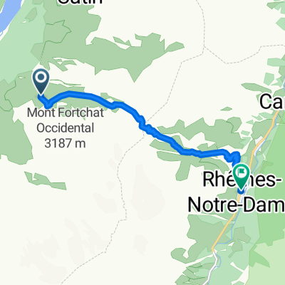
- 16.2 km
- Distance
- 672 m
- Ascent
- 672 m
- Descent
- ---
- Avg. speed
- ---
- Max. altitude
Continue with Bikemap
Use, edit, or download this cycling route
You would like to ride Epee or customize it for your own trip? Here is what you can do with this Bikemap route:
Free features
- Save this route as favorite or in collections
- Copy & plan your own version of this route
- Sync your route with Garmin or Wahoo
Premium features
Free trial for 3 days, or one-time payment. More about Bikemap Premium.
- Navigate this route on iOS & Android
- Export a GPX / KML file of this route
- Create your custom printout (try it for free)
- Download this route for offline navigation
Discover more Premium features.
Get Bikemap PremiumFrom our community
Other popular routes starting in Valgrisenche
 Epee
Epee- Distance
- 16.2 km
- Ascent
- 672 m
- Descent
- 672 m
- Location
- Valgrisenche, Aosta Valley, Italy
 Valgrisenche-S.Grato-ArpVieille
- Distance
- 19.8 km
- Ascent
- 2,776 m
- Descent
- 2,776 m
- Location
- Valgrisenche, Aosta Valley, Italy
 Bonne. Anello diga
- Distance
- 14.4 km
- Ascent
- 386 m
- Descent
- 386 m
- Location
- Valgrisenche, Aosta Valley, Italy
 ~Włoskie Alpy (start Prariond)
- Distance
- 10.8 km
- Ascent
- 709 m
- Descent
- 38 m
- Location
- Valgrisenche, Aosta Valley, Italy
 Maison forte di Valgrisenche
- Distance
- 12.6 km
- Ascent
- 753 m
- Descent
- 744 m
- Location
- Valgrisenche, Aosta Valley, Italy
 Alta via naturalistica tappa 6
- Distance
- 7.6 km
- Ascent
- 477 m
- Descent
- 1,118 m
- Location
- Valgrisenche, Aosta Valley, Italy
 8a) Valgrisenche
- Distance
- 34.9 km
- Ascent
- 784 m
- Descent
- 1,834 m
- Location
- Valgrisenche, Aosta Valley, Italy
 Valgrisenche
- Distance
- 32.2 km
- Ascent
- 1,163 m
- Descent
- 1,147 m
- Location
- Valgrisenche, Aosta Valley, Italy
Open it in the app