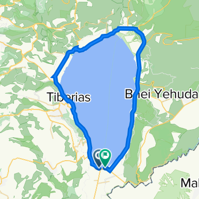
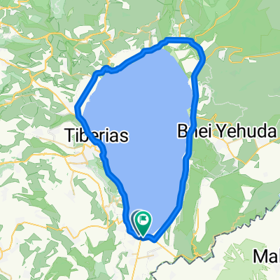
Tavor river
A cycling route starting in Yavne鈥檈l, Northern District, Israel.
Overview
About this route
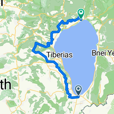
Gesher => Maale Elisha => Dana creek => Tavor river
20 Sep 2013 with Eitan- -:--
- Duration
- 24.8 km
- Distance
- 249 m
- Ascent
- 249 m
- Descent
- ---
- Avg. speed
- ---
- Avg. speed
Continue with Bikemap
Use, edit, or download this cycling route
You would like to ride Tavor river or customize it for your own trip? Here is what you can do with this Bikemap route:
Free features
- Save this route as favorite or in collections
- Copy & plan your own version of this route
- Sync your route with Garmin or Wahoo
Premium features
Free trial for 3 days, or one-time payment. More about Bikemap Premium.
- Navigate this route on iOS & Android
- Export a GPX / KML file of this route
- Create your custom printout (try it for free)
- Download this route for offline navigation
Discover more Premium features.
Get Bikemap PremiumFrom our community
Other popular routes starting in Yavne鈥檈l
- Route 2
- Distance
- 17.4 km
- Ascent
- 0 m
- Descent
- 0 m
- Location
- Yavne鈥檈l, Northern District, Israel
- Tavor river
- Distance
- 24.8 km
- Ascent
- 249 m
- Descent
- 249 m
- Location
- Yavne鈥檈l, Northern District, Israel
- 住讜讘讘 讻讬谞专转
- Distance
- 60.6 km
- Ascent
- 205 m
- Descent
- 207 m
- Location
- Yavne鈥檈l, Northern District, Israel
- 住讜讘讘 讻谞专转 2010
- Distance
- 60.5 km
- Ascent
- 214 m
- Descent
- 213 m
- Location
- Yavne鈥檈l, Northern District, Israel
- Sovev Kineret
- Distance
- 63.3 km
- Ascent
- 0 m
- Descent
- 0 m
- Location
- Yavne鈥檈l, Northern District, Israel
- Sovev Yavniel
- Distance
- 43.7 km
- Ascent
- 1,057 m
- Descent
- 1,059 m
- Location
- Yavne鈥檈l, Northern District, Israel
- 讚专讜诐 专诪讛"讙
- Distance
- 136.4 km
- Ascent
- 1,081 m
- Descent
- 1,081 m
- Location
- Yavne鈥檈l, Northern District, Israel
- 注诪拽 讛讬专讚谉
- Distance
- 31.1 km
- Ascent
- 0 m
- Descent
- 0 m
- Location
- Yavne鈥檈l, Northern District, Israel
Open it in the app