TOURMALET_2014_02
- 98.3 km
- 2,715 m
- 1,995 m
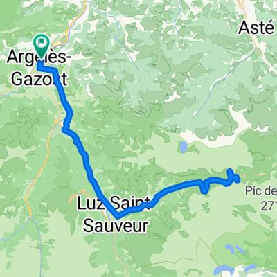
- Argelès-Gazost, Occitanie, France
A cycling route starting in Argelès-Gazost, Occitanie, France.
Overview
Departure from Argelès-Gazost to Pierrefitte-Nestalas Climb towards Luz-Saint-Sauveur (without passing through) Climb to Gèdre, then Héas Ascent of the cirque de Troumousse Descent to Pierrefitte-Nestalas Fork towards Saint-Savin, then towards Estaing Fork at Estaing for the ascent to Col des Bordères Descent to Arrens-Marsous then to Argelès-Gazost
created this 12 years ago
Route highlights
Argelès-Gazost
Pierrefitte-Nestalas
Gèdre
Cirque de Troumousse
Saint-Savin
Estaing
Col des Bordères
Continue with Bikemap
You would like to ride Argelès-Gazost - cirque de Troumousse - Argelès-Gazost or customize it for your own trip? Here is what you can do with this Bikemap route:
Free trial for 3 days, or one-time payment. More about Bikemap Premium.
Discover more Premium features.
Get Bikemap PremiumFrom our community
Open it in the app