Pandan Indah to Cheras LRT station
A cycling route starting in Kuala Lumpur, Kuala Lumpur, Malaysia.
Overview
About this route
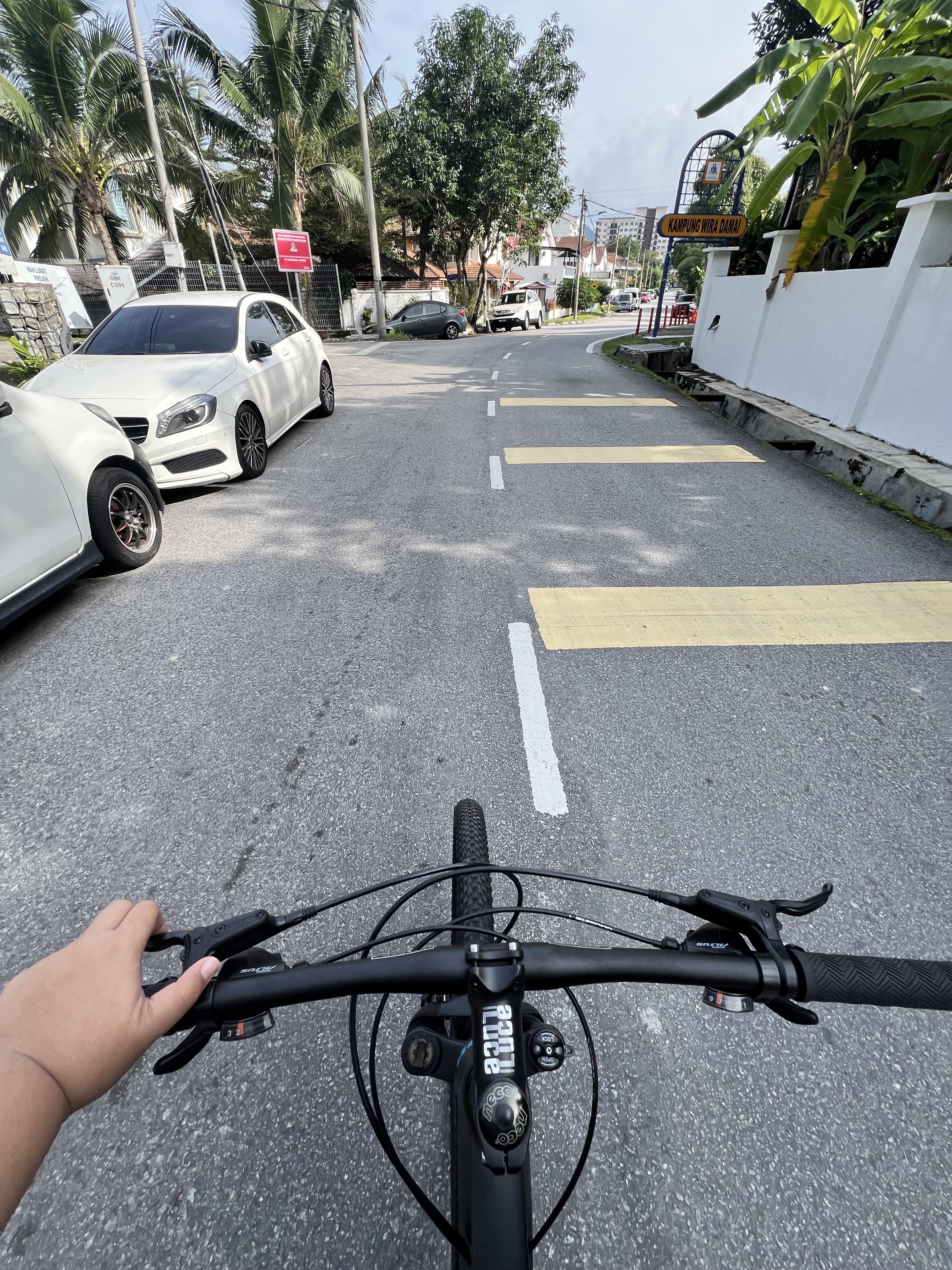
as easier route to cycle from Pandan Indah to LRT Cheras station via:
Taman Kencana, Pandan Perdana, Shamelin One, behind Taman Pulu Ulu, Jalan Cheras (pitstop for breakfast at DAP Cheras), Jalan Ikan Ayu (Sri Sabah flats), Jalan Ikan Emas (Sri Pulau Pinang flats) and Jalan Jelawat (Sri Johor flats)- -:--
- Duration
- 7.6 km
- Distance
- 41 m
- Ascent
- 68 m
- Descent
- ---
- Avg. speed
- ---
- Max. altitude
Route quality
Waytypes & surfaces along the route
Waytypes
Road
4.5 km
(59 %)
Quiet road
1.9 km
(24 %)
Surfaces
Paved
7.3 km
(96 %)
Asphalt
6.9 km
(91 %)
Paving stones
0.4 km
(5 %)
Route highlights
Points of interest along the route
Point of interest after 0.4 km
Restoran Kin Kin Spicy Pan Mee
Point of interest after 0.4 km
Pandan Indah Police Station
Point of interest after 0.7 km
School
Point of interest after 1 km
School
Point of interest after 1.8 km
On Jalan Bunga Raya, before you go under the flyover, watch out for fast moving vehicles turning left into MRR2
Point of interest after 2.2 km
At this point, before merging with MRR2, you must stop and push your bike across the curb to continue onto Pandan Perdana. Landmark is HSL Electrical Shop.
Point of interest after 3 km
Shamelin One
Point of interest after 3.3 km
Esso petrol station
Point of interest after 3.7 km
Seri Bintang Utara School
Point of interest after 4.6 km
PGRM
Point of interest after 4.9 km
DAP Cheras (Restoran Sang Kee) Usual meeting point for breakfast
Point of interest after 5 km
Courts
Point of interest after 6.1 km
Fish Head Noodle
Point of interest after 6.1 km
Rumah Panjang
Point of interest after 6.8 km
Big Mosque
Continue with Bikemap
Use, edit, or download this cycling route
You would like to ride Pandan Indah to Cheras LRT station or customize it for your own trip? Here is what you can do with this Bikemap route:
Free features
- Save this route as favorite or in collections
- Copy & plan your own version of this route
- Sync your route with Garmin or Wahoo
Premium features
Free trial for 3 days, or one-time payment. More about Bikemap Premium.
- Navigate this route on iOS & Android
- Export a GPX / KML file of this route
- Create your custom printout (try it for free)
- Download this route for offline navigation
Discover more Premium features.
Get Bikemap PremiumFrom our community
Other popular routes starting in Kuala Lumpur
 Jalan Bunga Tanjung, Batu Caves to Jalan Bunga Tanjung, Batu Caves
- Distance
- 5.4 km
- Ascent
- 52 m
- Descent
- 47 m
- Location
- Kuala Lumpur, Kuala Lumpur, Malaysia
 Day 01 - Kuala Lumpur to Sekinchan, Selangor
- Distance
- 109.1 km
- Ascent
- 395 m
- Descent
- 436 m
- Location
- Kuala Lumpur, Kuala Lumpur, Malaysia
 KL City Center Tour
- Distance
- 27.4 km
- Ascent
- 701 m
- Descent
- 701 m
- Location
- Kuala Lumpur, Kuala Lumpur, Malaysia
 Melawati Loop
- Distance
- 9 km
- Ascent
- 142 m
- Descent
- 121 m
- Location
- Kuala Lumpur, Kuala Lumpur, Malaysia
 Desa Parkcity Loop
- Distance
- 10.1 km
- Ascent
- 270 m
- Descent
- 268 m
- Location
- Kuala Lumpur, Kuala Lumpur, Malaysia
 Jalan Bunga Tanjung, Batu Caves to Jalan Bunga Tanjung, Batu Caves
- Distance
- 9.4 km
- Ascent
- 90 m
- Descent
- 98 m
- Location
- Kuala Lumpur, Kuala Lumpur, Malaysia
 KL City Center Tour
- Distance
- 25.4 km
- Ascent
- 646 m
- Descent
- 646 m
- Location
- Kuala Lumpur, Kuala Lumpur, Malaysia
 Route to Suria KLCC
- Distance
- 11.4 km
- Ascent
- 220 m
- Descent
- 257 m
- Location
- Kuala Lumpur, Kuala Lumpur, Malaysia
Open it in the app


