

Zaterdag rondje
A cycling route starting in Konyaalti, Antalya Province, Republic of Türkiye.
Overview
About this route
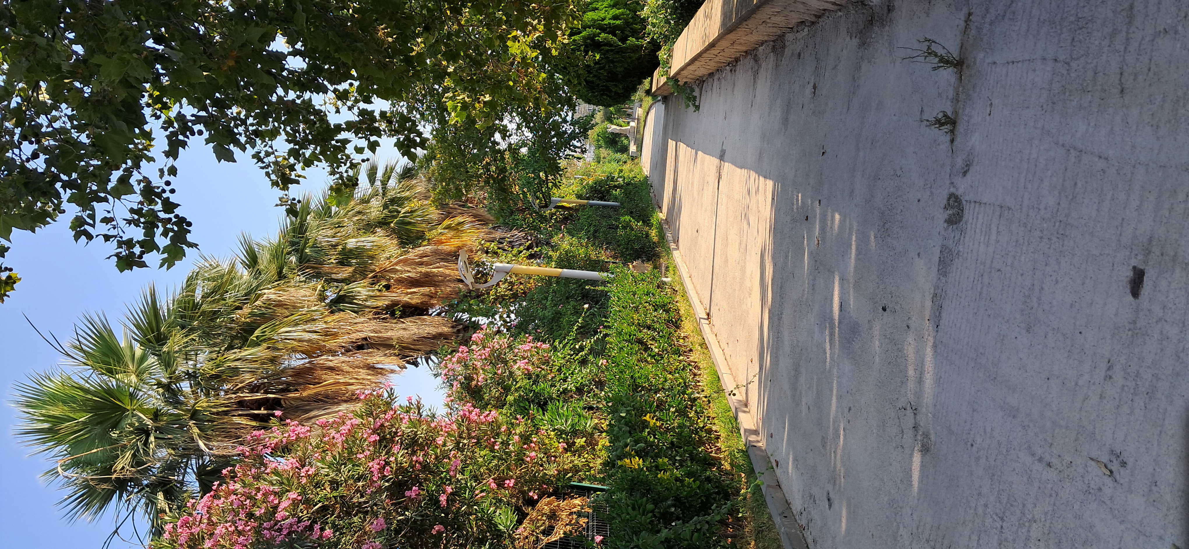
Mountainbike ride through the mountains near Antalya
- -:--
- Duration
- 64.7 km
- Distance
- 1,288 m
- Ascent
- 1,286 m
- Descent
- ---
- Avg. speed
- ---
- Max. altitude
Route quality
Waytypes & surfaces along the route
Waytypes
Road
21.3 km
(33 %)
Quiet road
14.9 km
(23 %)
Surfaces
Paved
44 km
(68 %)
Unpaved
10.3 km
(16 %)
Asphalt
44 km
(68 %)
Gravel
10.3 km
(16 %)
Undefined
10.3 km
(16 %)
Continue with Bikemap
Use, edit, or download this cycling route
You would like to ride Zaterdag rondje or customize it for your own trip? Here is what you can do with this Bikemap route:
Free features
- Save this route as favorite or in collections
- Copy & plan your own version of this route
- Sync your route with Garmin or Wahoo
Premium features
Free trial for 3 days, or one-time payment. More about Bikemap Premium.
- Navigate this route on iOS & Android
- Export a GPX / KML file of this route
- Create your custom printout (try it for free)
- Download this route for offline navigation
Discover more Premium features.
Get Bikemap PremiumFrom our community
Other popular routes starting in Konyaalti
 От 13. Sokak 9, Bahtılı Köyü Köyü до Konyaaltı Hisarçandır Yolu
- Distance
- 4.6 km
- Ascent
- 208 m
- Descent
- 86 m
- Location
- Konyaalti, Antalya Province, Republic of Türkiye
 uncalı M. - Batı Çevre Yolu
- Distance
- 17.6 km
- Ascent
- 262 m
- Descent
- 259 m
- Location
- Konyaalti, Antalya Province, Republic of Türkiye
 Konyaaltı
- Distance
- 9.9 km
- Ascent
- 79 m
- Descent
- 107 m
- Location
- Konyaalti, Antalya Province, Republic of Türkiye
 1179. Sk. 16B, Konyaaltı to 1179. Sk. 16M, Konyaaltı
- Distance
- 10.4 km
- Ascent
- 10 m
- Descent
- 10 m
- Location
- Konyaalti, Antalya Province, Republic of Türkiye
 from home to termessos -Antalya
- Distance
- 30.3 km
- Ascent
- 913 m
- Descent
- 79 m
- Location
- Konyaalti, Antalya Province, Republic of Türkiye
 Zaterdag rondje
- Distance
- 64.7 km
- Ascent
- 1,288 m
- Descent
- 1,286 m
- Location
- Konyaalti, Antalya Province, Republic of Türkiye
 Atatürk Bulvarı to Yıl Bulvarı
- Distance
- 10.7 km
- Ascent
- 140 m
- Descent
- 162 m
- Location
- Konyaalti, Antalya Province, Republic of Türkiye
 Antalya Route to Saklikent and back
- Distance
- 73.9 km
- Ascent
- 1,567 m
- Descent
- 1,567 m
- Location
- Konyaalti, Antalya Province, Republic of Türkiye
Open it in the app