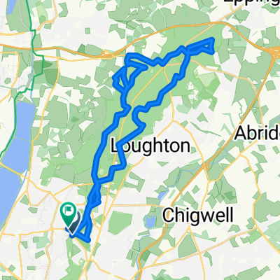
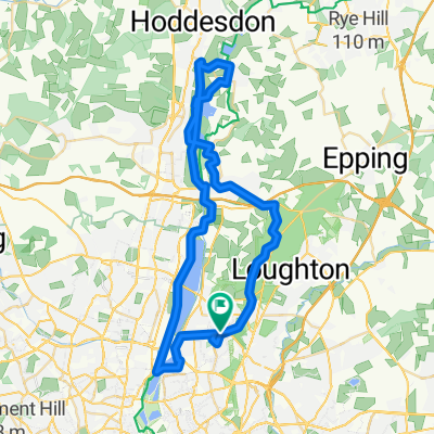
Stratstone Jaguar ride 06-10-13
- 65.6 km
- 306 m
- 306 m
- Woodford Green, England, United Kingdom
A cycling route starting in Woodford Green, England, United Kingdom.
Overview
Special event
created this 12 years ago
Route quality
Road
18.4 km
(28 %)
Quiet road
13.8 km
(21 %)
Paved
26.9 km
(41 %)
Asphalt
25.6 km
(39 %)
Paved (undefined)
1.3 km
(2 %)
Undefined
38.7 km
(59 %)
Continue with Bikemap
You would like to ride Stratstone Jaguar ride 06-10-13 or customize it for your own trip? Here is what you can do with this Bikemap route:
Free trial for 3 days, or one-time payment. More about Bikemap Premium.
Discover more Premium features.
Get Bikemap PremiumFrom our community
Open it in the app