Schwamendingen-Fallanden-Pfaffhausen-Witikon-Fluntern-Dubendorf
A cycling route starting in Zürich (Kreis 12) / Saatlen, Canton of Zurich, Switzerland.
Overview
About this route
Schwamendingen-Fallanden-Pfaffhausen-Witikon-Fluntern-Dübendorf
- -:--
- Duration
- 28.2 km
- Distance
- 425 m
- Ascent
- 428 m
- Descent
- ---
- Avg. speed
- ---
- Max. altitude
Route quality
Waytypes & surfaces along the route
Waytypes
Road
9 km
(32 %)
Path
5.1 km
(18 %)
Surfaces
Paved
27.4 km
(97 %)
Unpaved
0.6 km
(2 %)
Asphalt
27.4 km
(97 %)
Gravel
0.6 km
(2 %)
Undefined
0.3 km
(1 %)
Continue with Bikemap
Use, edit, or download this cycling route
You would like to ride Schwamendingen-Fallanden-Pfaffhausen-Witikon-Fluntern-Dubendorf or customize it for your own trip? Here is what you can do with this Bikemap route:
Free features
- Save this route as favorite or in collections
- Copy & plan your own version of this route
- Sync your route with Garmin or Wahoo
Premium features
Free trial for 3 days, or one-time payment. More about Bikemap Premium.
- Navigate this route on iOS & Android
- Export a GPX / KML file of this route
- Create your custom printout (try it for free)
- Download this route for offline navigation
Discover more Premium features.
Get Bikemap PremiumFrom our community
Other popular routes starting in Zürich (Kreis 12) / Saatlen
Beautiful lake cycle.....- Distance
- 29.1 km
- Ascent
- 32 m
- Descent
- 31 m
- Location
- Zürich (Kreis 12) / Saatlen, Canton of Zurich, Switzerland
Hubenstrasse 24–26, Zürich nach Talgartenstrasse 15, Illnau- Distance
- 15.6 km
- Ascent
- 1,118 m
- Descent
- 1,080 m
- Location
- Zürich (Kreis 12) / Saatlen, Canton of Zurich, Switzerland
Schwamendingen-Fallanden-Pfaffhausen-Witikon-Fluntern-Dubendorf- Distance
- 28.2 km
- Ascent
- 425 m
- Descent
- 428 m
- Location
- Zürich (Kreis 12) / Saatlen, Canton of Zurich, Switzerland
Oerlikon_Kyburg- Distance
- 55.5 km
- Ascent
- 579 m
- Descent
- 581 m
- Location
- Zürich (Kreis 12) / Saatlen, Canton of Zurich, Switzerland
zurUBS_viaHardbrücke- Distance
- 7.4 km
- Ascent
- 80 m
- Descent
- 103 m
- Location
- Zürich (Kreis 12) / Saatlen, Canton of Zurich, Switzerland
Route zu Open Ride- Distance
- 6.6 km
- Ascent
- 68 m
- Descent
- 85 m
- Location
- Zürich (Kreis 12) / Saatlen, Canton of Zurich, Switzerland
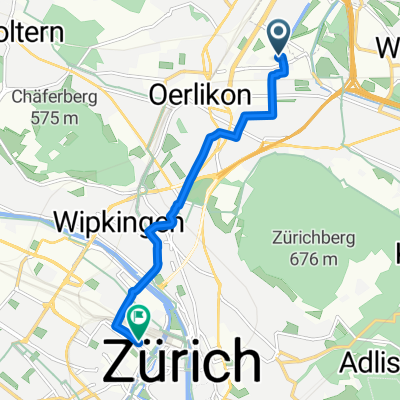
home-hochwacht (860 müM)
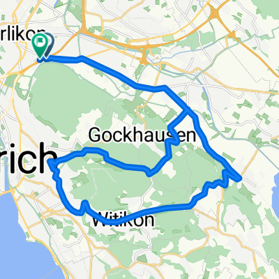
- Distance
- 25.7 km
- Ascent
- 551 m
- Descent
- 135 m
- Location
- Zürich (Kreis 12) / Saatlen, Canton of Zurich, Switzerland
Bachtel- Distance
- 107.9 km
- Ascent
- 1,461 m
- Descent
- 1,464 m
- Location
- Zürich (Kreis 12) / Saatlen, Canton of Zurich, Switzerland
Open it in the app

