

Sei.Cipri.Rante.Boutureira
A cycling route starting in Ourense, Galicia, Spain.
Overview
About this route
Medium to high difficulty MTB route
- -:--
- Duration
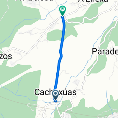
- 24.6 km
- Distance
- 545 m
- Ascent
- 543 m
- Descent
- ---
- Avg. speed
- ---
- Max. altitude
Continue with Bikemap
Use, edit, or download this cycling route
You would like to ride Sei.Cipri.Rante.Boutureira or customize it for your own trip? Here is what you can do with this Bikemap route:
Free features
- Save this route as favorite or in collections
- Copy & plan your own version of this route
- Sync your route with Garmin or Wahoo
Premium features
Free trial for 3 days, or one-time payment. More about Bikemap Premium.
- Navigate this route on iOS & Android
- Export a GPX / KML file of this route
- Create your custom printout (try it for free)
- Download this route for offline navigation
Discover more Premium features.
Get Bikemap PremiumFrom our community
Other popular routes starting in Ourense
 De Rúa Pena Trevinca 42, Ourense a Praza do Toural 12B, Vilar de Barrio
- Distance
- 41.5 km
- Ascent
- 860 m
- Descent
- 390 m
- Location
- Ourense, Galicia, Spain
 Costiña de Canedo
- Distance
- 2 km
- Ascent
- 301 m
- Descent
- 27 m
- Location
- Ourense, Galicia, Spain
 DAG 2 Ourense - Pepin
- Distance
- 71.3 km
- Ascent
- 1,060 m
- Descent
- 697 m
- Location
- Ourense, Galicia, Spain
 La Vuelta Stage 4
- Distance
- 195.3 km
- Ascent
- 2,919 m
- Descent
- 2,722 m
- Location
- Ourense, Galicia, Spain
 Encontriños 2014
- Distance
- 188.3 km
- Ascent
- 610 m
- Descent
- 707 m
- Location
- Ourense, Galicia, Spain
 ORENSE-LUGO
- Distance
- 113 km
- Ascent
- 1,192 m
- Descent
- 840 m
- Location
- Ourense, Galicia, Spain
 o picouto
- Distance
- 17.6 km
- Ascent
- 334 m
- Descent
- 330 m
- Location
- Ourense, Galicia, Spain
 ORENSE-RIBADEO
- Distance
- 182 km
- Ascent
- 1,315 m
- Descent
- 1,410 m
- Location
- Ourense, Galicia, Spain
Open it in the app