

BW-Rundfahrt
A cycling route starting in Kronau, Baden-Wurttemberg, Germany.
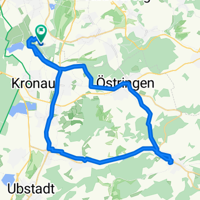
Overview
About this route
Fahrradtour Herbst 2013. Tatsächlich sind es gut 10.000 Höhenmeter und an die 900km!
Wer den giftigen Anstieg (18%!, s. Marker) nach Schloß Bartenstein meiden will, kann über Heuchlingen (links statt rechts) abbiegen und rechts über die L1022 (Kottmannsweiler) nach Herrenthierbach abkürzen. Getoppt wird dieser Anstieg von 20% an der Donau - allerdings deutlich kürzer.- -:--
- Duration
- 801 km
- Distance
- 1,081 m
- Ascent
- 1,082 m
- Descent
- ---
- Avg. speed
- ---
- Max. altitude

Route quality
Waytypes & surfaces along the route
Waytypes
Quiet road
275.1 km
(34 %)
Track
239.2 km
(30 %)
Surfaces
Paved
663.8 km
(83 %)
Unpaved
59.3 km
(7 %)
Asphalt
605.3 km
(76 %)
Paved (undefined)
38.7 km
(5 %)
Route highlights
Points of interest along the route
Point of interest after 643.4 km
Abkürzung hierer nach Herrenthierberg zur Vermeidung der 18% Steigung
Continue with Bikemap
Use, edit, or download this cycling route
You would like to ride BW-Rundfahrt or customize it for your own trip? Here is what you can do with this Bikemap route:
Free features
- Save this route as favorite or in collections
- Copy & plan your own version of this route
- Split it into stages to create a multi-day tour
- Sync your route with Garmin or Wahoo
Premium features
Free trial for 3 days, or one-time payment. More about Bikemap Premium.
- Navigate this route on iOS & Android
- Export a GPX / KML file of this route
- Create your custom printout (try it for free)
- Download this route for offline navigation
Discover more Premium features.
Get Bikemap PremiumFrom our community
Other popular routes starting in Kronau
 Bester Weg SAP ROT - Mannheim
- Distance
- 37.5 km
- Ascent
- 59 m
- Descent
- 70 m
- Location
- Kronau, Baden-Wurttemberg, Germany
 SAP Rot nach Wiesloch über Gänsberg
- Distance
- 9.3 km
- Ascent
- 79 m
- Descent
- 58 m
- Location
- Kronau, Baden-Wurttemberg, Germany
 SAP Rot nach Wiesloch durch den Wald
- Distance
- 9 km
- Ascent
- 54 m
- Descent
- 35 m
- Location
- Kronau, Baden-Wurttemberg, Germany
 Kleine SAP ITS Kraichgaurunde
- Distance
- 33.4 km
- Ascent
- 198 m
- Descent
- 201 m
- Location
- Kronau, Baden-Wurttemberg, Germany
 SAP Rot - HD - Whm
- Distance
- 39.7 km
- Ascent
- 147 m
- Descent
- 122 m
- Location
- Kronau, Baden-Wurttemberg, Germany
 HD-Kirchheim <-> St. Leon-Rot, SAP
- Distance
- 18.1 km
- Ascent
- 36 m
- Descent
- 37 m
- Location
- Kronau, Baden-Wurttemberg, Germany
 BW-Rundfahrt
- Distance
- 801 km
- Ascent
- 1,081 m
- Descent
- 1,082 m
- Location
- Kronau, Baden-Wurttemberg, Germany
 Vorderodenwald
- Distance
- 82.6 km
- Ascent
- 1,010 m
- Descent
- 964 m
- Location
- Kronau, Baden-Wurttemberg, Germany
Open it in the app