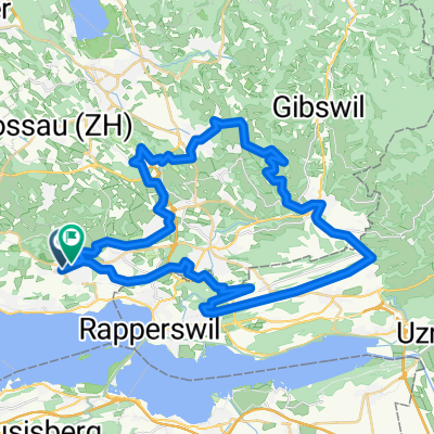
Passeio Magusto 14112015
- 53.7 km
- 779 m
- 782 m
- Hombrechtikon, Canton of Zurich, Switzerland
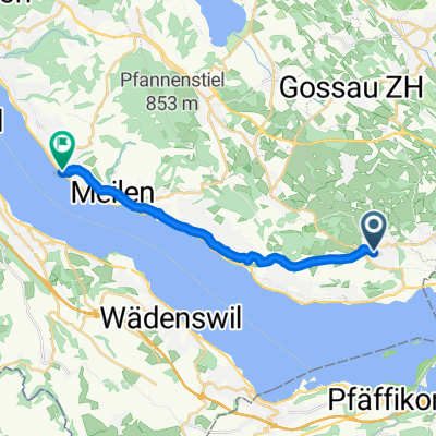
A cycling route starting in Hombrechtikon, Canton of Zurich, Switzerland.
Overview
Hombrechtikon - Einsiedeln
42,20km 930hmcreated this 12 years ago
Route highlights
00km Start 2. Etappe Hombrechtikon, Post Bus 880 / 950 / 970
6.20km Kreuzung Rütistr. / Widerzellstr. nur Verpflegung
17.80km Altendorf, Bahnhof Zug S2 und S8
21.60km Höhgadenstrasse nur Verpflegung
26.50km St. Meinrad, ca. 300m unterhalb des Gasthauses
31.00km Feusisberg, Gemeindehaus Bus 190
36.20km Biberbrugg, Bahnhof Zug S13 / S31 Bus 7 / 551
42.20km Ziel 2. Etappe Einsiedeln, Klosterplatz Bus 551 / 552 / 553 / 556 / 560
Continue with Bikemap
You would like to ride 02_RR_2014_Hombrechtikon - Einsiedeln or customize it for your own trip? Here is what you can do with this Bikemap route:
Free trial for 3 days, or one-time payment. More about Bikemap Premium.
Discover more Premium features.
Get Bikemap PremiumFrom our community
Open it in the app